

Entangled Value | Dark Matter Labs | Zoe Lee ID 2024
Helloo again! Headings all over this post b/c lots happening! I am learning a ton! And have had little time to process. SO here are some updates 💌
Overview:
I have been working on a video about a core concept that appears in Dark Matter’s work. “Entangled Value” is about the interconnectedness of the world, and the importance relational context plays when assessing value of… well… anything. In a more tangible sense, an example that we were looking at early on was “guns and addictive medications have a price, yet care work in the home and breathable air does not” [from Script Draft 01].
Brief Overview on Entangled Value:
How we assign value is malleable and can change. And it has historically! We have always been able to assign a price to new (stuff or) technology that we deem valuable. We’ve witnessed value change from exclusively physical assets (like factories, housing, transports, etc.) to multi-capital assets (like intellectual property, information, and natural capital like urban green spaces).
Despite this shift, we still rarely see value placed on trickle down, systemic effects. For example, we treat planting trees as a cosmetic expense for cities. But their actual, entangled value results in many positive spillover effects like uplifting real estate prices in surrounding streets, increasing foot traffic to local businesses as people visit the park, and capturing carbon and creates urban shade over the longer term (Trees as AI).
Some resources we were looking at were YoYo Ma’s video on cultural ties, also Kayla’s thesis (that I got to watch during NCSS Commencement this past spring!).
Progress & Process:
This process has been incredibly challenging and rewarding. The video is intended to provoke a feeling about these concepts, rather than more academic writing about the concept. But, visualizing these ideas is quite difficult.
Here are some iterations that didn’t make the final cut.


Once I started combining animation w/ live action footage, I started to get somewhere better. This was the first frame that started working. After showing this cut to the team, it was super exciting watching them get excited about the video.
Other updates:
I hit the ✨archives✨ at the Brand Museum in London. It has been immensely helpful to see so much design history up close and personal while working on this project. In ID, we didn’t get much formal training on principles of graphic design, so getting crash coursed while here has been great. Everyday I feel like design newbie. It’s kinda nice & freeing – there’s so much to learn!


I’ll spare you scrolling through 100 photos of old stuff. Here are a few of my favorites!
OK! See ya later. Thanks 4 reading my thoughts!
Nature Walk Workshop–Yiming Lei, MLA24
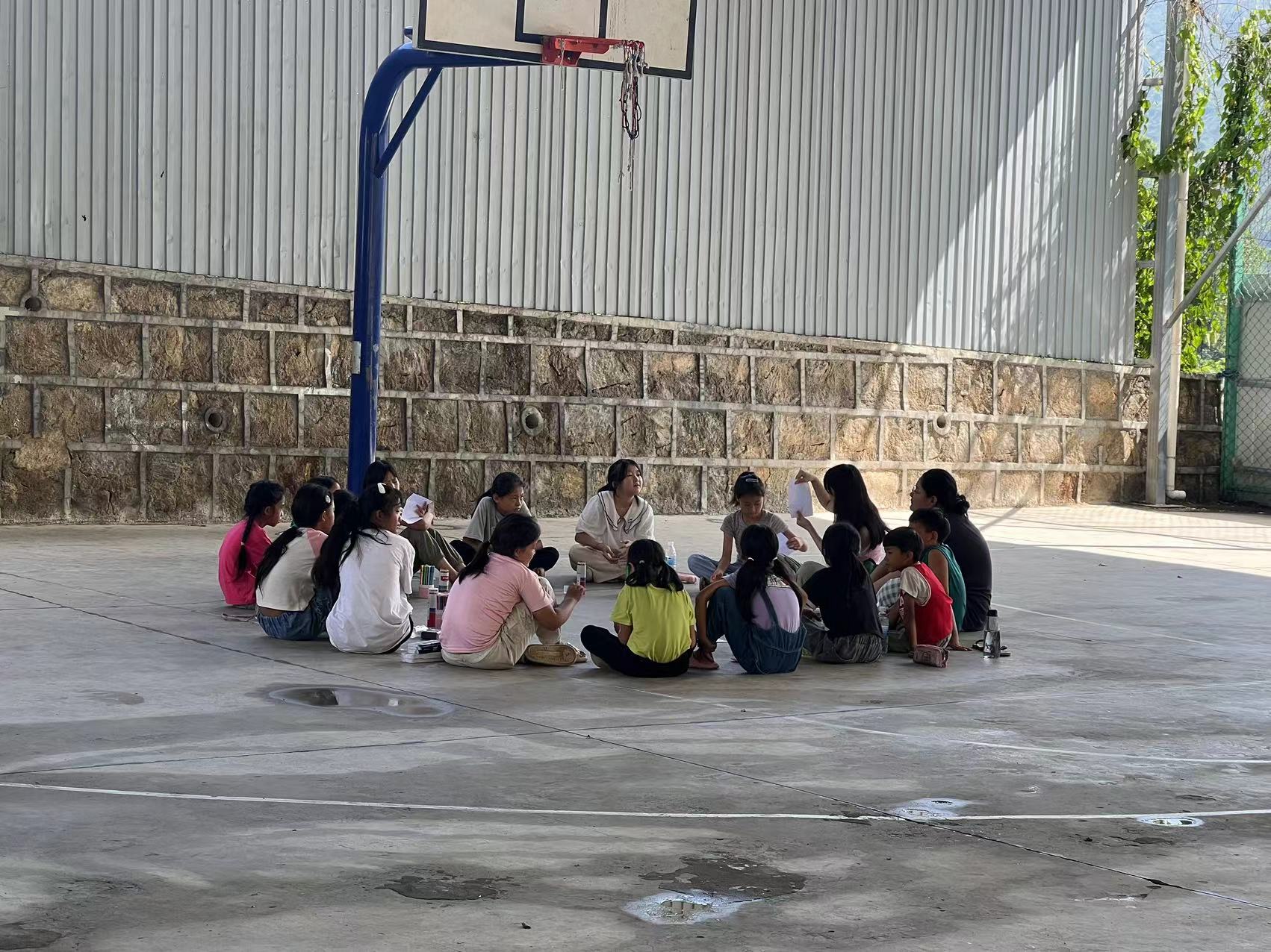
Starting in July, I have been working with Bazi Garden to conduct a series of nature walk workshops with local communities and scholars; here is the most recent one:


We went to a mountain in Mengzi, Yunan, which is located in Southwest China. During the whole journey, we walked from the local agricultural land into the semi-ancient forest to learn about the transition of the local ecologies, as well as the impact of agriculture on the original landscape.
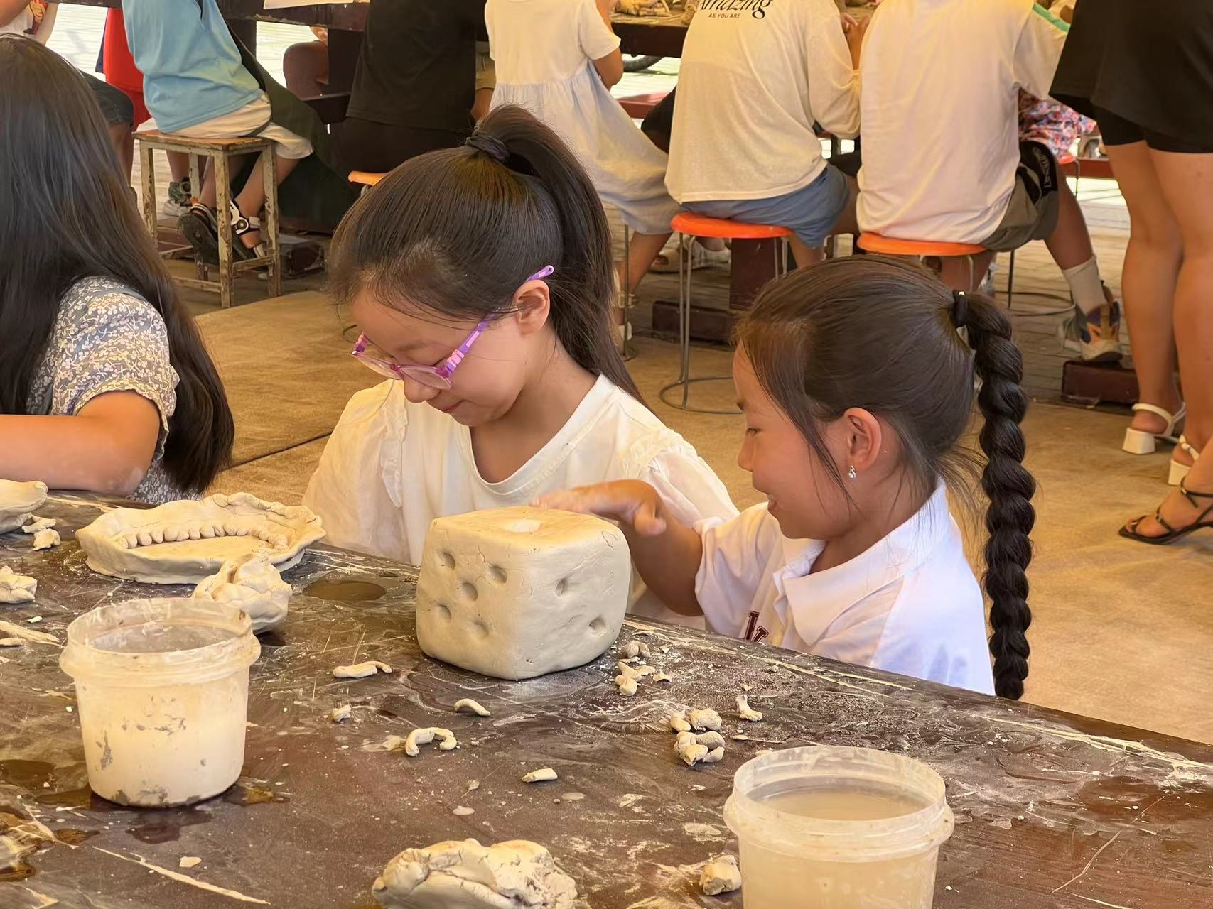
Throughout the whole journey, we have also been collecting plants for future herbarium makings; here are some images of the local plants and creatures:


Nature walk workshops have been a huge part of the RISD Landscape department, especially during our plant and ecology class, and after graduation, I started to understand the value of this process more and more: on the one hand, nature walk workshop is one of the few media that can seamlessly combine all of our senses to learn about local ecology, one the other hand, the whole process can help the participates to memorize and personalize the knowledge that’s learned in a unforced way.
Touching Down in London | Dark Matter Labs – Zoe Lee BFA ID 2024
Hello!!! I am officially across the pond. This is my first (very late) transmission – things have been a bit crazy and exciting!
My goals are to a) develop a method for strategic communications for systems change work b) make work that helps explain [strategic & systems] design’s impact and c) explore what [strategic & systems] design is in the UK and d) stabilize how I view, work in, & think through [strategic & systems] design and share with others!
Dark Matter works across themes of systems change, city transformation, regenerative economics, and governance, and more. Founded by architect Indy Johar, Dm is an mix of economists, policy experts, urban development experts, and more!
Dark Matter is self described as “working on what is needed to manifest transformations to our food, housing, land, material and nature systems towards a future of mutual thriving. In doing this, we analyse the shifts it requires in the underlying ‘dark matter’ – monetary, economic, governance, regulatory and policy systems – to make this possible, and we work with partners to demonstrate these alternatives in neighbourhoods, cities and bioregions. We share these insights openly for mutual learning“.
This can be really hard to explain. I’m not sure that I completely understand the full complexity of what Dm does yet (they do a lot), but I am having fun making work here.
While here, I’ve been developing a video on “Entangled Values” – a core concept that underpins much of their work. It has been quite the (fun!) challenge of visualizing something that is so abstract and also tangible. I’ve been working across live action and animation and have been really enjoying the process.


(a loose still from the video and part of the process)
The world of design in London feels different than in the States. I feel like there is much more of a clear academic backbone than in the states (or maybe from what I’m familiar with from Industrial Design?). I’ve never seen so many bodies of writing from designers and have been reading everything that I can. At RISD, the only space I ever encountered systems design was at the Center for Complexity (which I had the privilege of working at during my senior year!). Here, it seems like everyone is thinking and working in systems (change?).

(this is a book I am currently obsessing over)

(this is another book I am currently obsessing over)
I attended a lecture from Benjamin Bratton’s research group Antikythera.

(📍 Central Saint Martins, Kings Cross)
Being here in the first few weeks has been really eye opening. During my time at RISD [or general career up until now], I tried a lot of stuff. I’ve worked at multiple academic labs (MIT Media Lab & the Morphing Matter Lab), founded a blue-tech research group thing (SCUP Aquaculture), worked with multiple strategic design studios (Altimeter & the Center for Complexity), freelanced for climate science groups (NOAA & the Commercial Fisheries Research Foundation) and more. I’ve spent my time in college in a continuous search to see where designers can be impactful outside of design (in the most traditional sense).
The funny thing about working all these odd jobs is that I never really knew what I was doing. I kept signing onto the next opportunity hoping to learn something new and hoping to find it (if you know what I mean?). Being at Dark Matter, and in London, this summer is offering some clarity. Seeing this world up close has been invaluable.
OK! More later but I g2g. Bye!
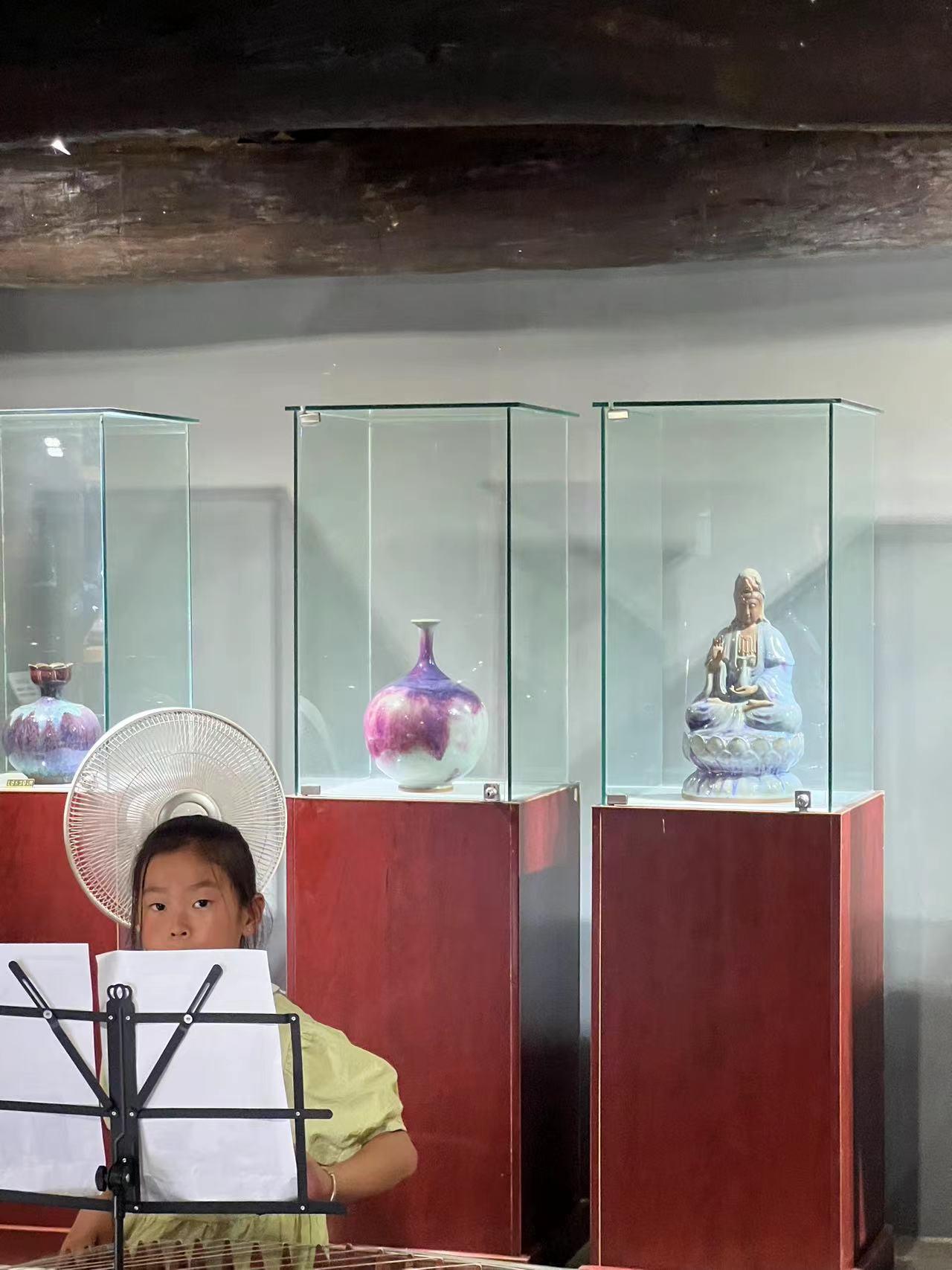
Final exhibition
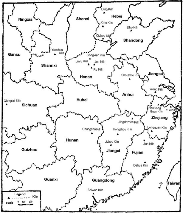
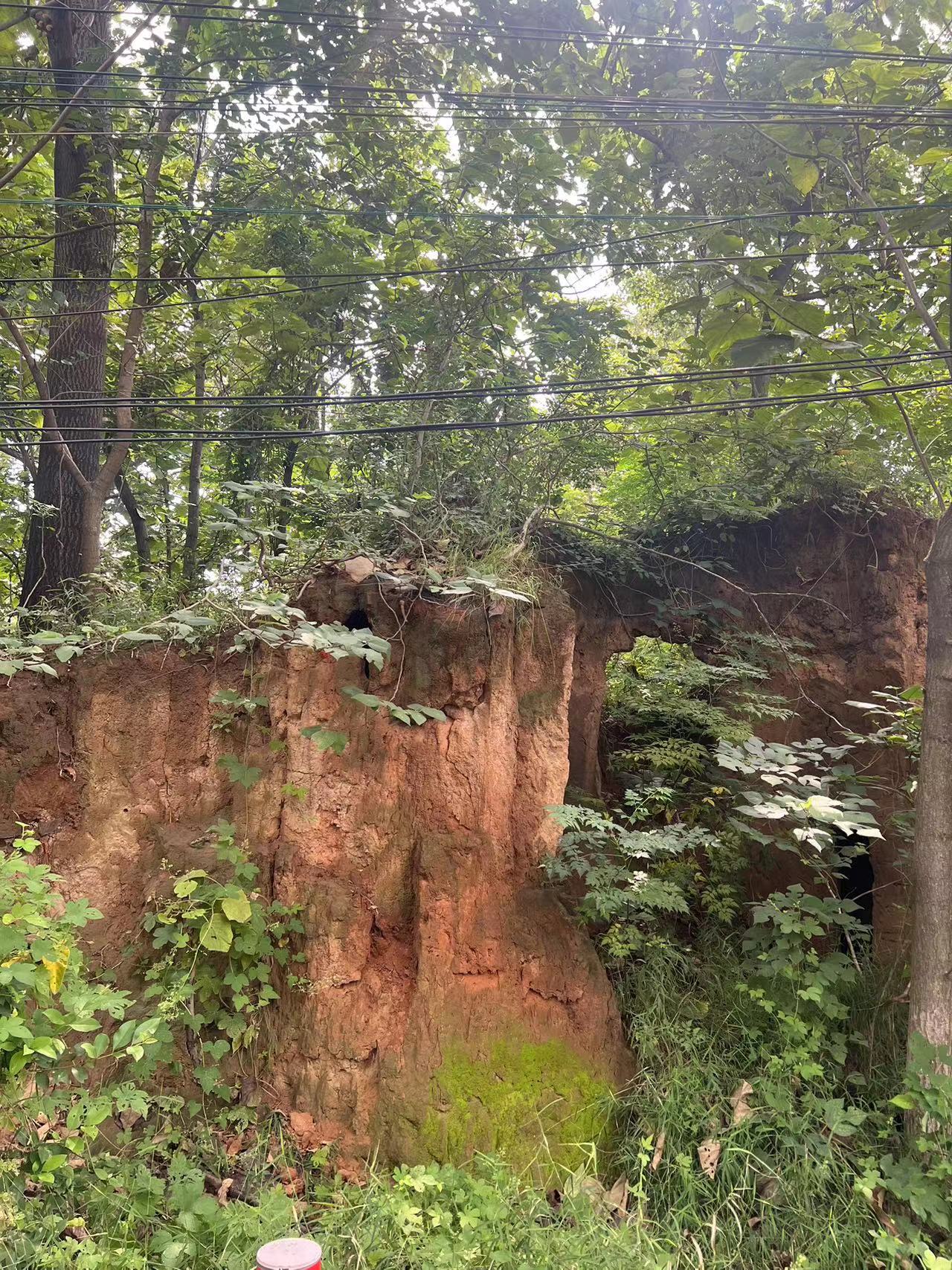
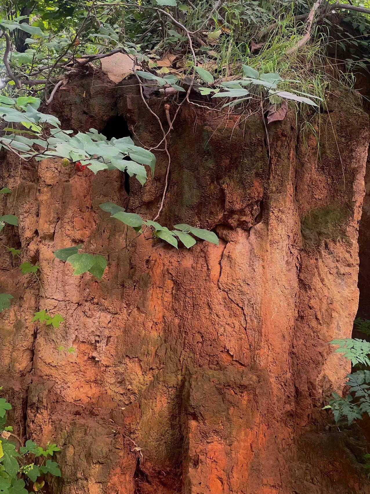
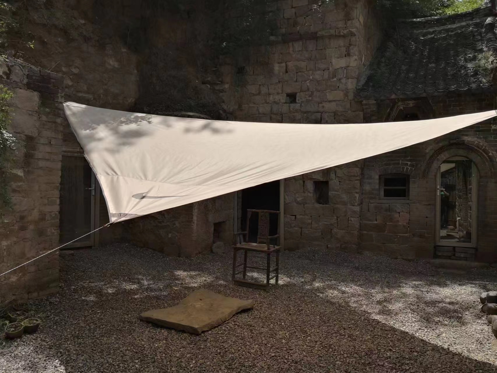
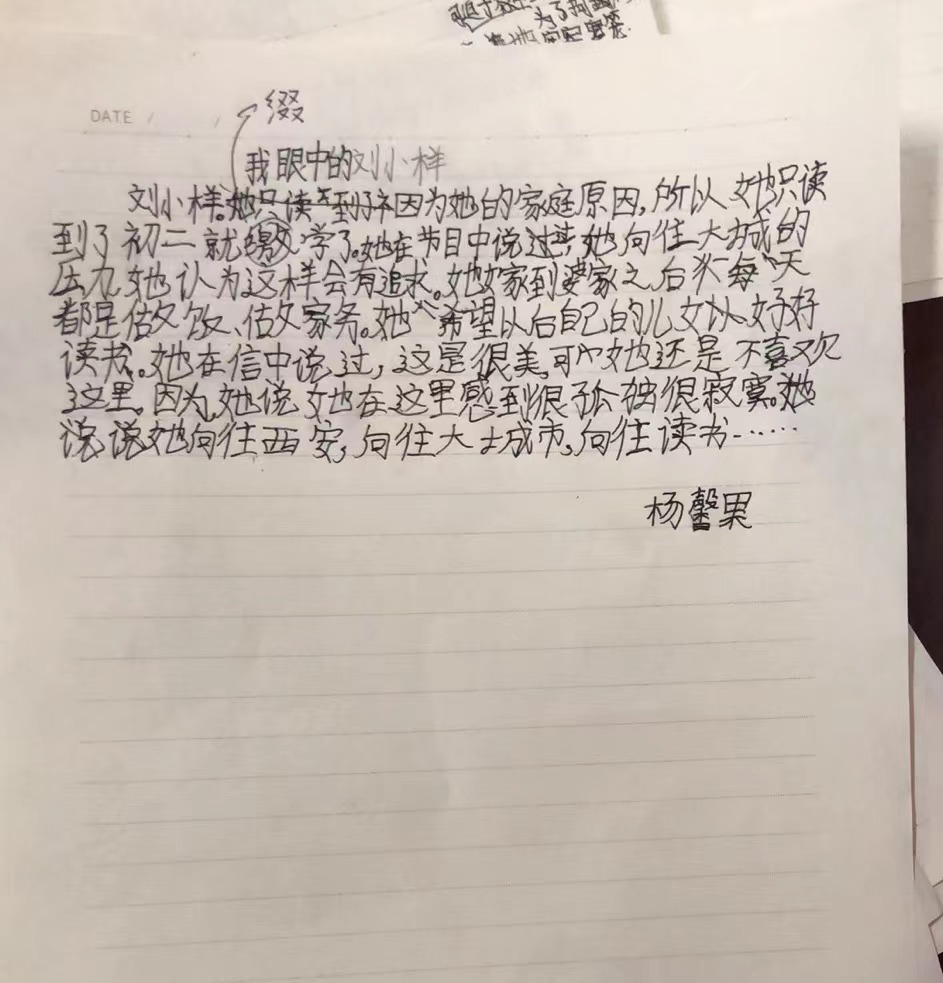
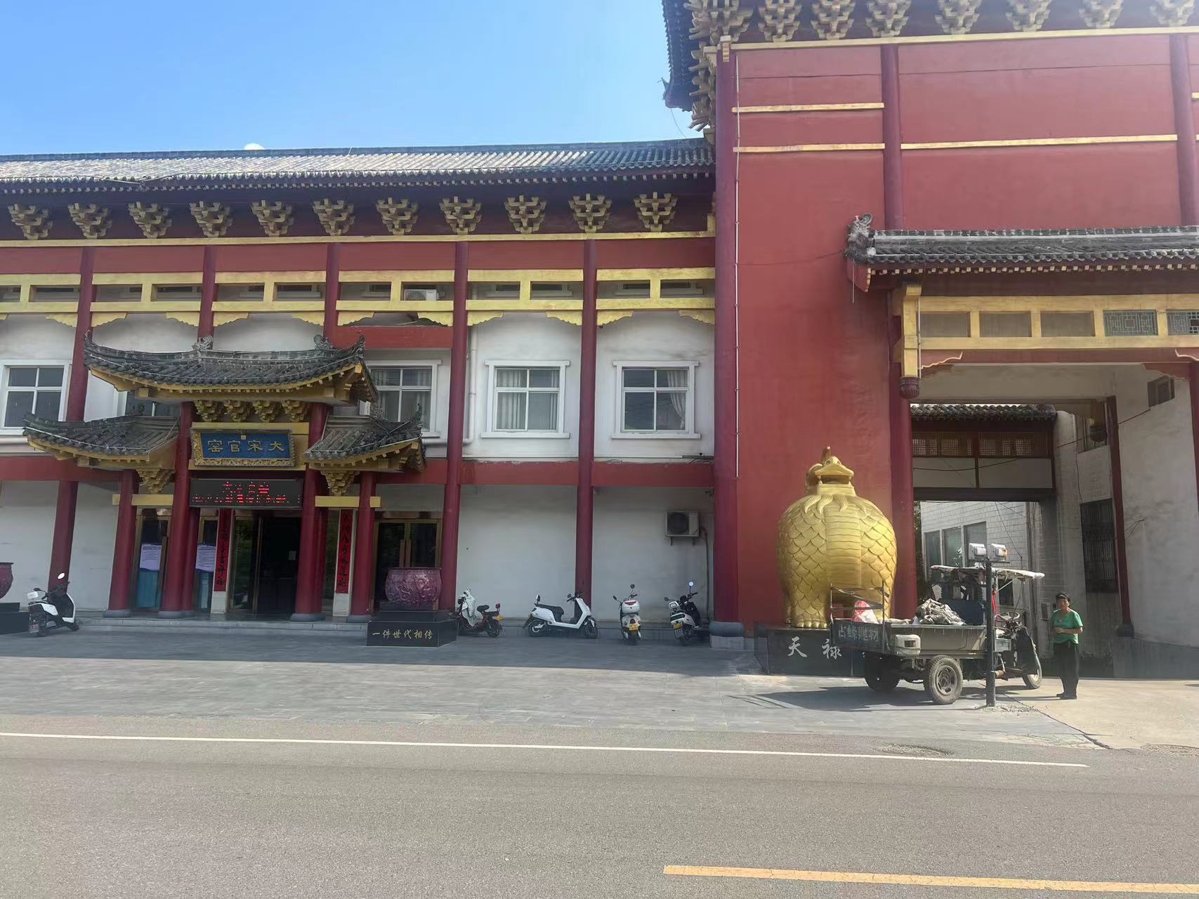
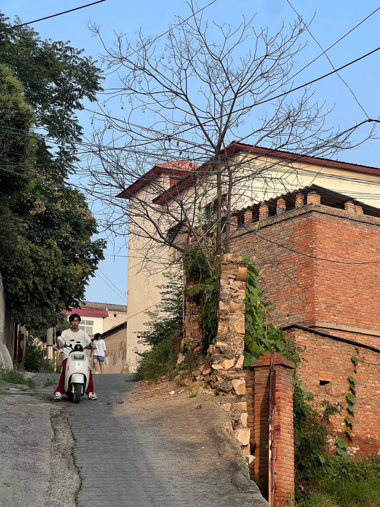
Shenhou County, Yuzhou, Henan
A study of an ancient kiln site in Shenhou, Henan

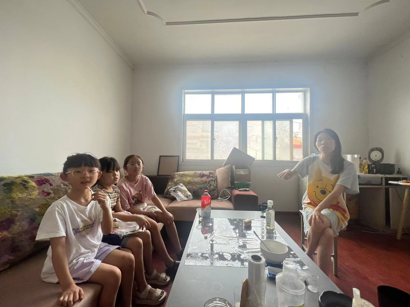
Except for the teaching and administrative part of my job in this fellowship, all communication between me and the residents is becoming my largest gaining in my practice. I enjoy this kind of old-fashioned way chats with the neighborhood on the street, purposelessly. Some of them take a walk after eating dinner, and some of them cool off under trees in this little county. Everything goes slowly and peacefully, while everyone slows down their steps. After talking with some local parents and elementary students, I found the absence of professional art education. The Chinese government has implemented nine years of compulsory education. Still, art classes in actual schools have often been overlooked or crowded out by other subjects such as math and literature. Even though traditional Jun ceramics surrounds people, most of them have no recognition of generic ceramic arts or the arts. To the public, Jun ceramics have become an iconic symbol in the historical culture. Nevertheless, one of the essential distinctions between parents in Henan and Yunnan is that they were more than willing to send their children to participate in the non-profit program. Some parents in Henan are even more than welcome to invest in their children’s education. They were aware of the demand for art education in rural areas. So the advertising and enrollment of local students have been very smooth and successful, and some parents are fully supportive of our public education organization. However, most of the parents in Yunnan just considered us as babysitters for their children’s summer vacation.
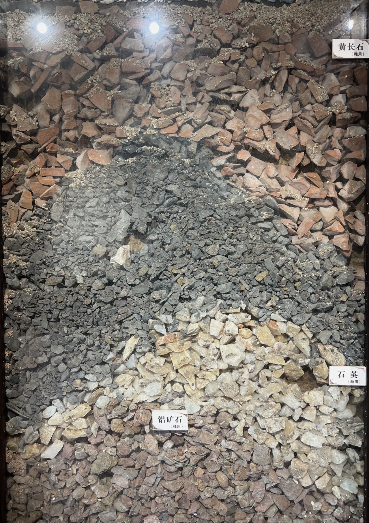
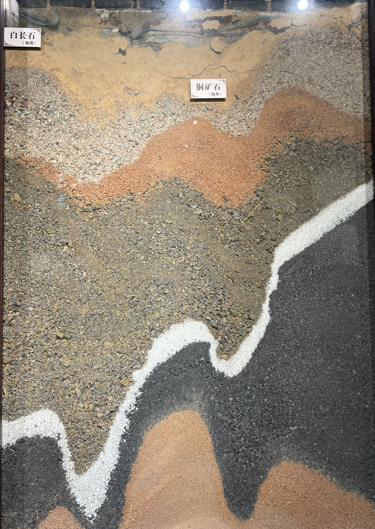
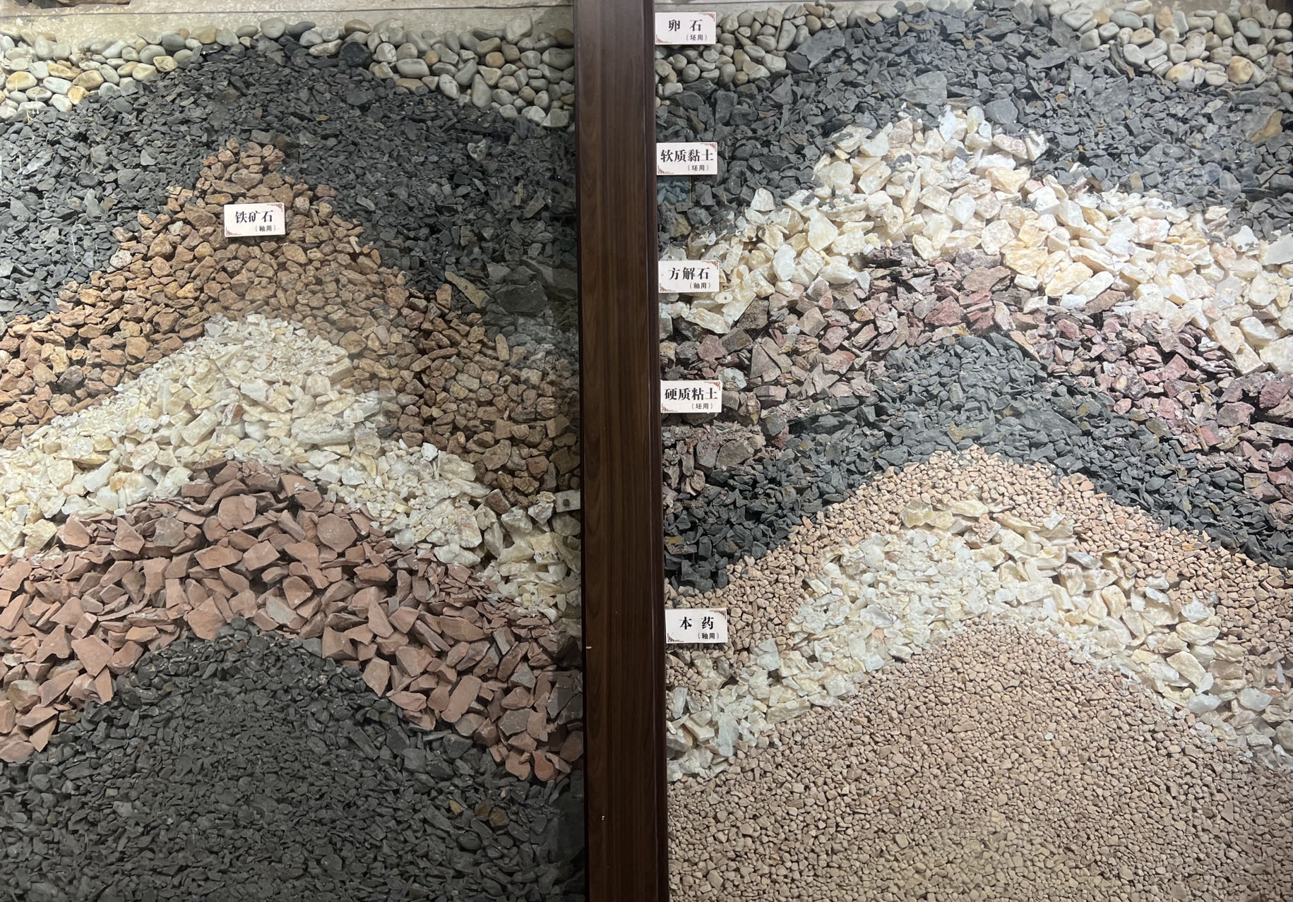
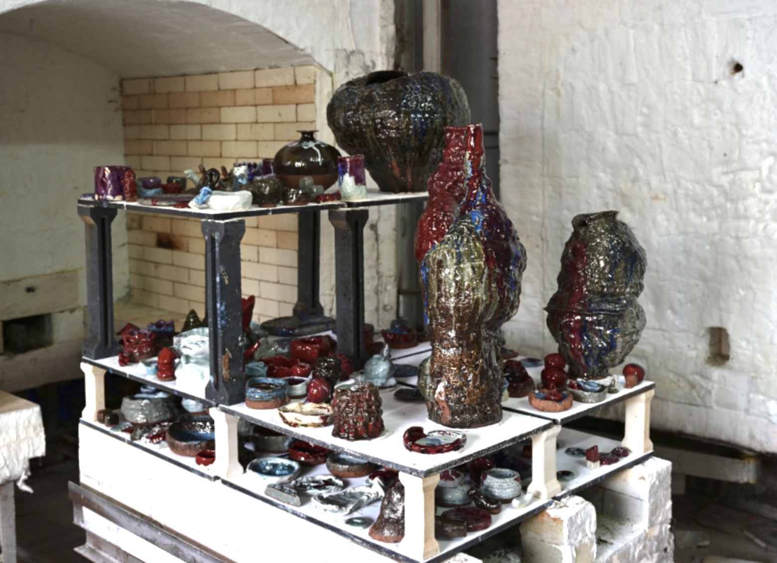
Multiple layers of feldspar, iron oxide, and clay are deposited underground.
Study of local clay and materials with Qi Huisuo
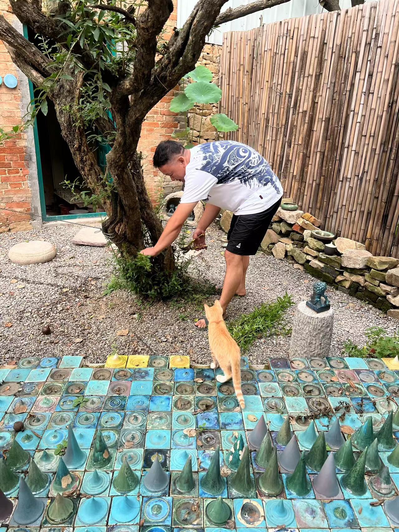
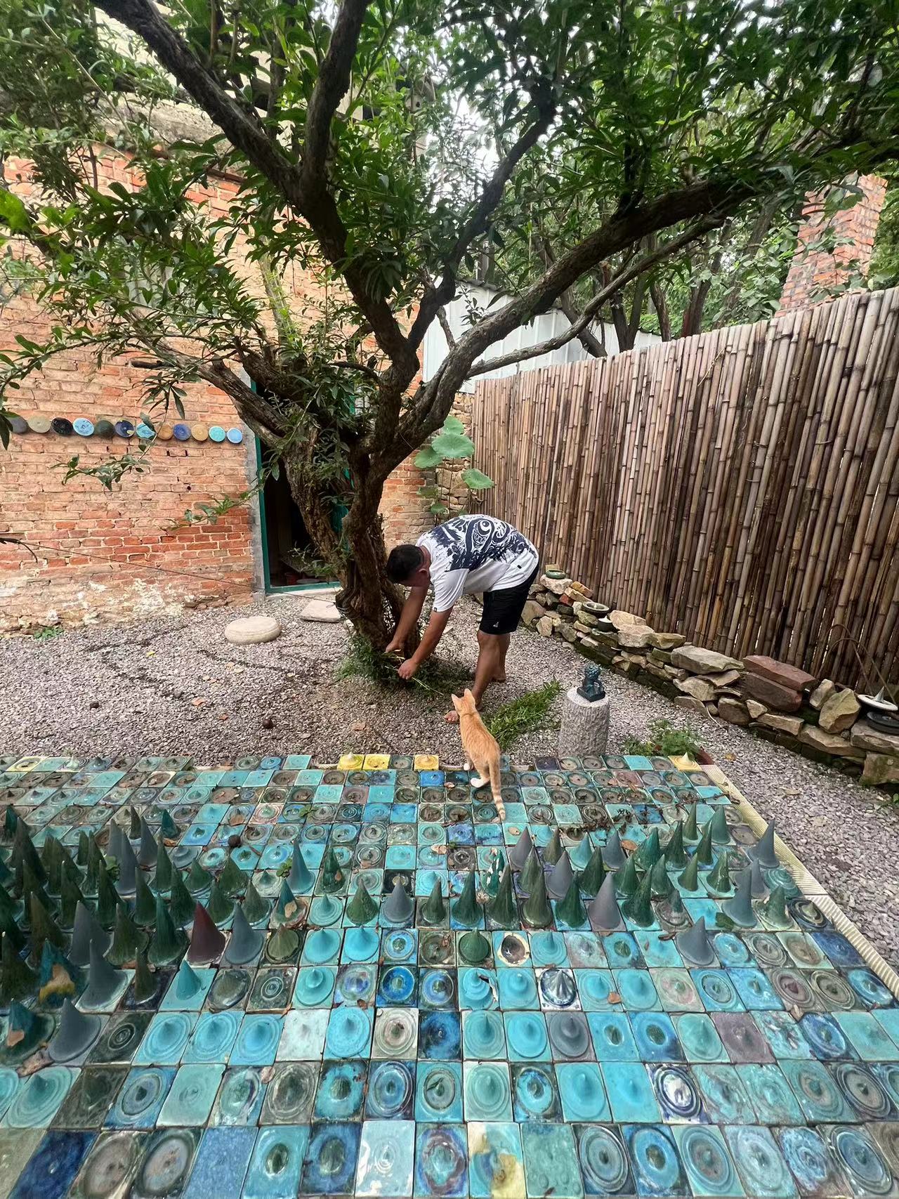
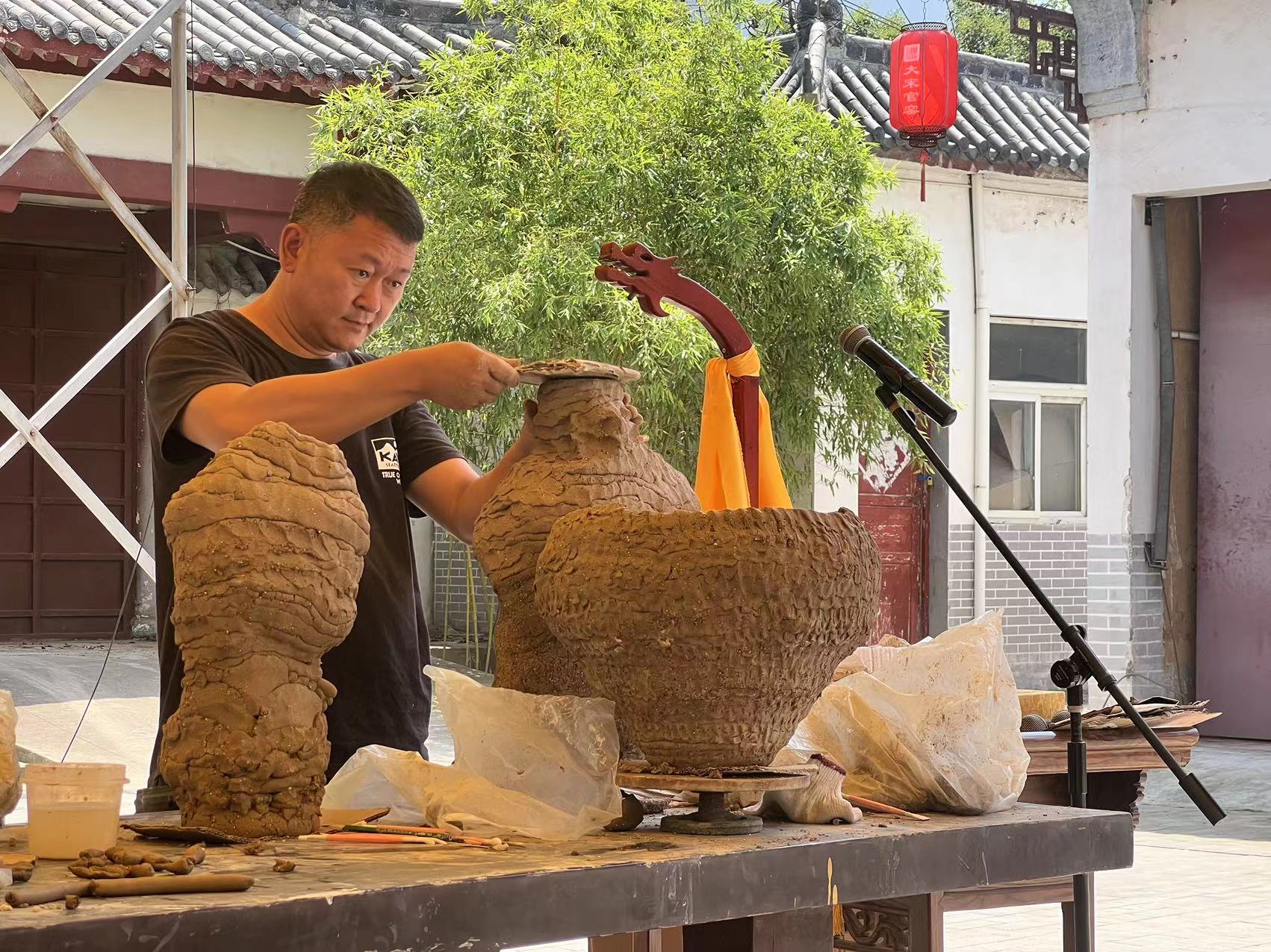
The conversation with Mr. Qi remains in my mind. I enjoyed talking with Mr. Qi the most. Qi Huisuo works as the main designer for the Song Dynasty royal kiln though, his job as designing for mass production ceramics never limited his vision.
In China, especially in Chinese rural areas, there is a large number of people like Qi Huisuo. They never identify themselves as a contemporary artist, but what they are creating and sustaining is true honesty and art. Not like most traditional Chinese ceramicists, Qi is generous, open-minded, knowable, and welcoming. He would love to share the ceramic knowledge that he researched for years. Working as a designer for a mass-productive industry isn’t as fun and cool as it looks. The pre-research and study of local clay and stones is a much time-consumable phase in the ceramic industry. He took a big responsibility of qualifying all designs for all blowing mass production.
Conceptual thinking and creative art education are essential absences in their elementary school, especially speaking to Shenhou County, after my street interview with the residents. Most of the children and families I accessed in Shenhou are much more educated, urbanized, and open-minded, especially compared with the situation we met in Yunnan. They have relatively rich art materials, convenient transportation, and favorable life conditions. Surprisingly, parents in Shenhou value the importance of kids’ education, and invest the most in this aspect, especially compared to the situation in Yunan. However, the lack of support for arts in elementary education proves that unequal development and resources of arts are common in the countryside.
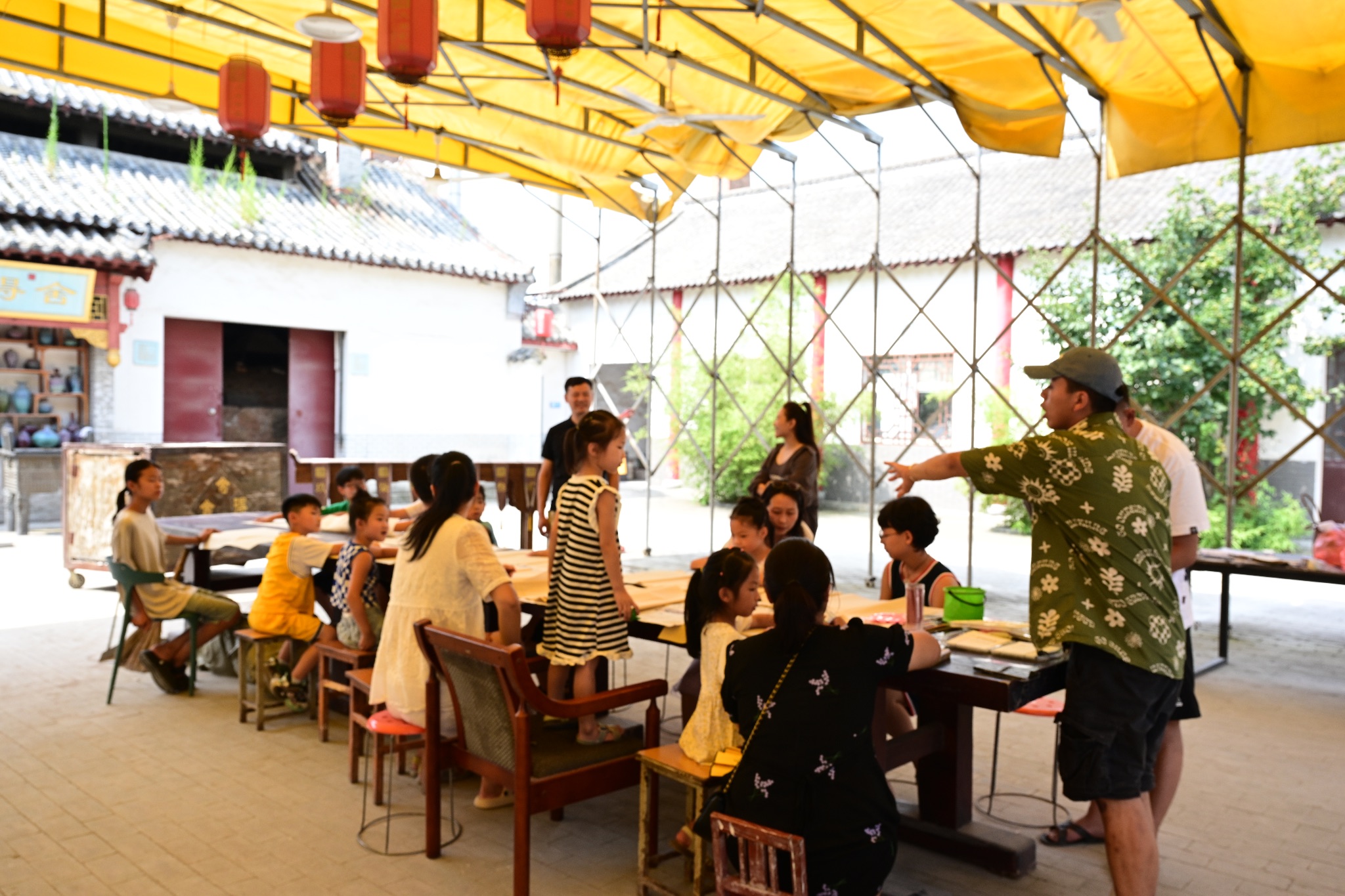
To the ten-day workshop, I have committed with designer Qi Huisuo about the main concept of our teaching for these children — creative thinking.
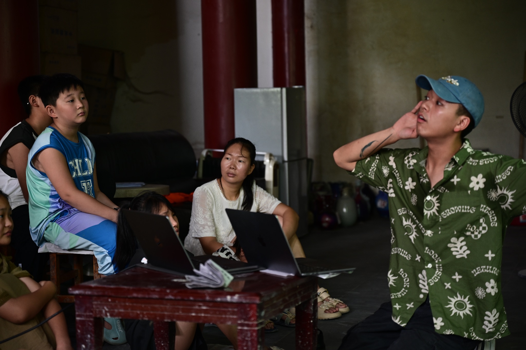
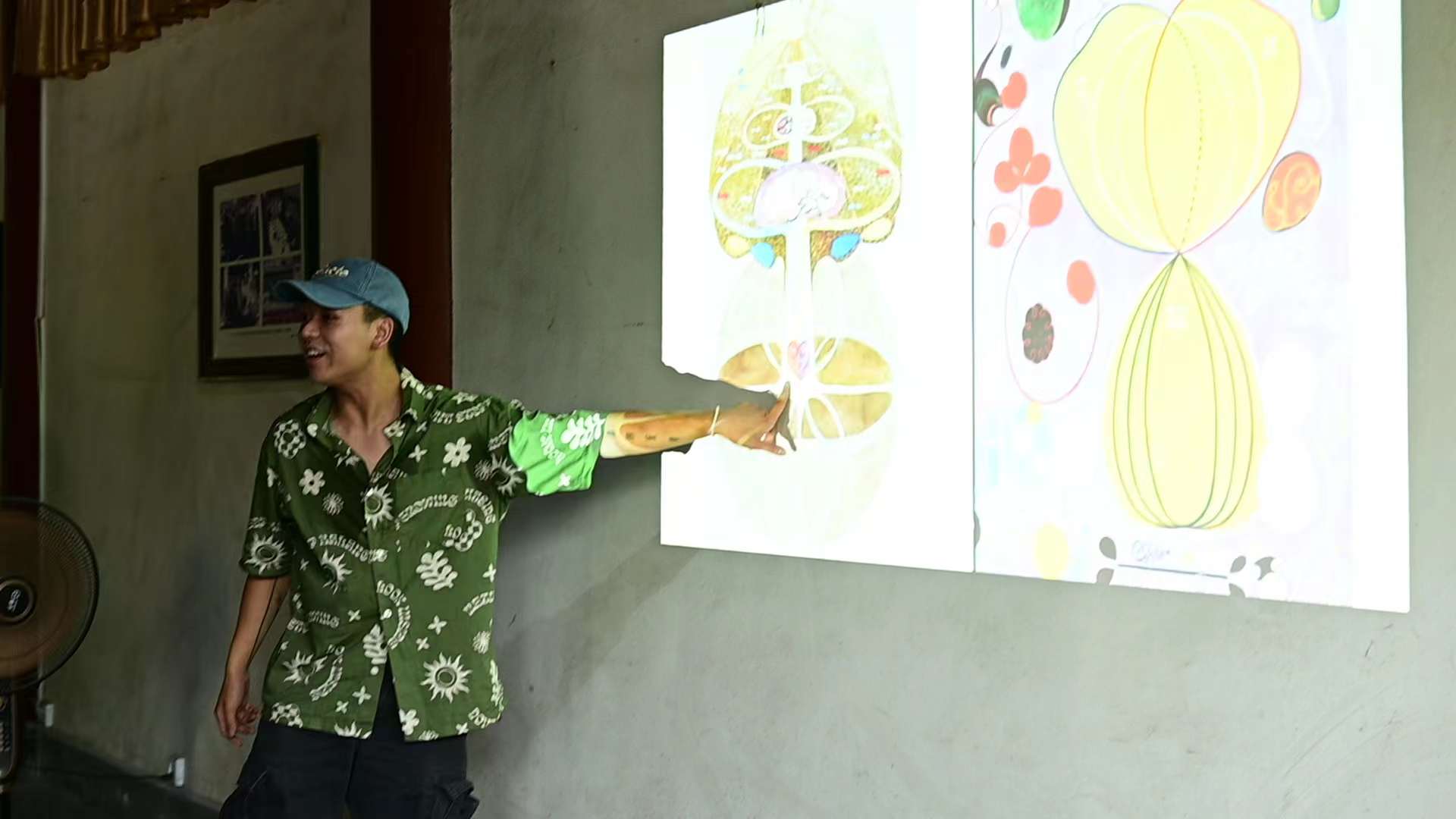
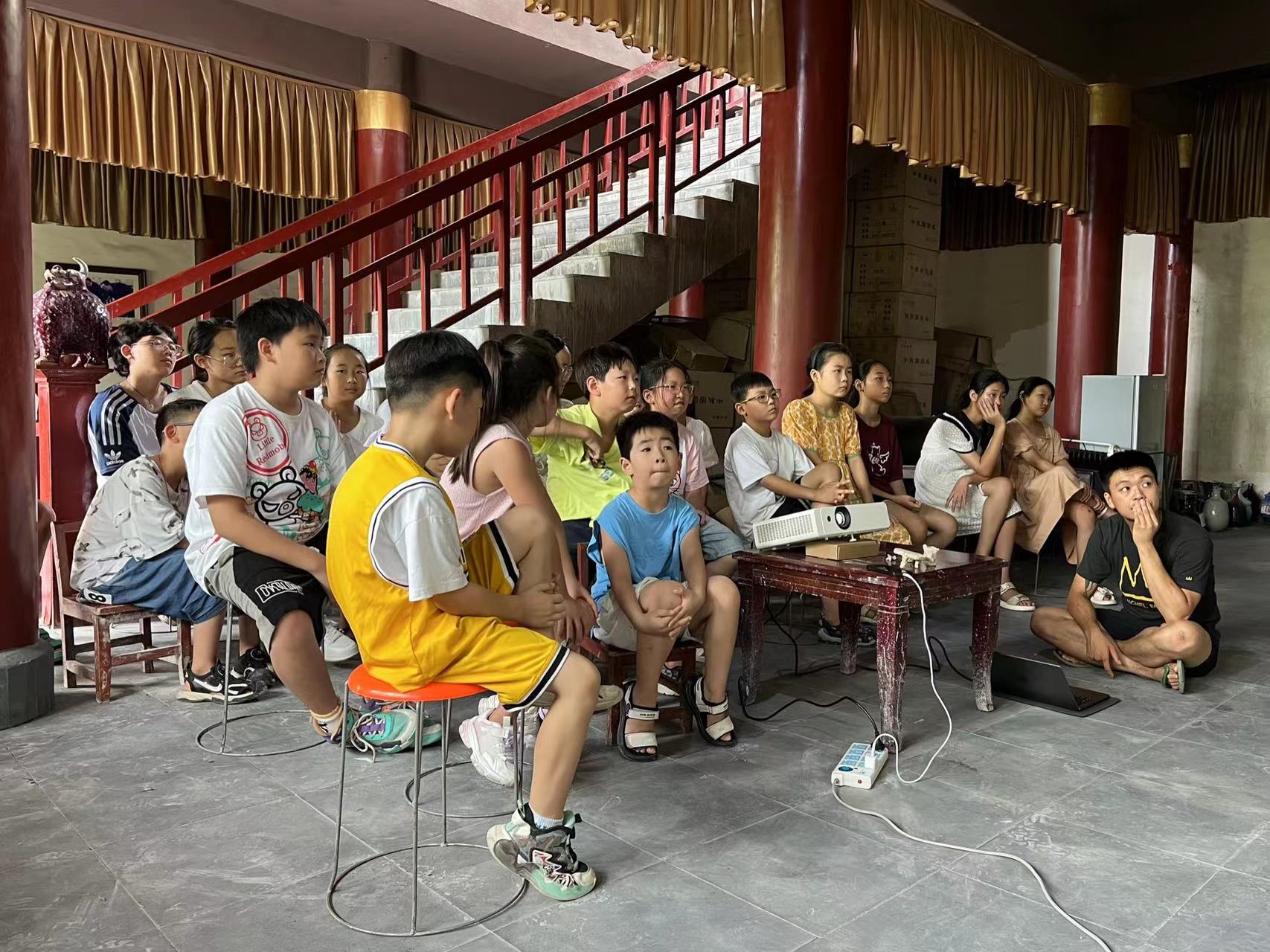
The first art lecture
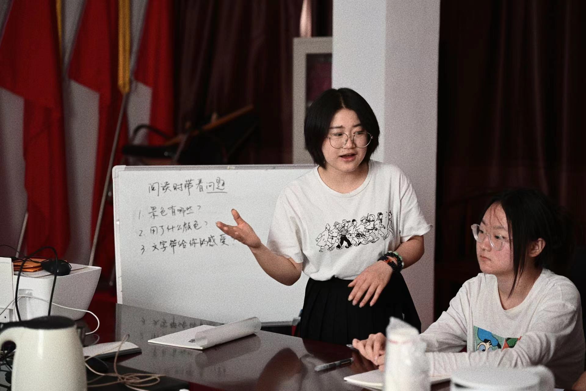
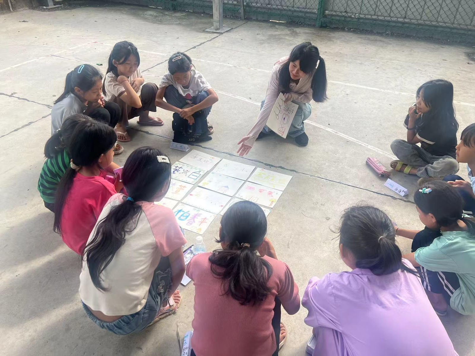
The parallel creative writing workshop took place every afternoon.
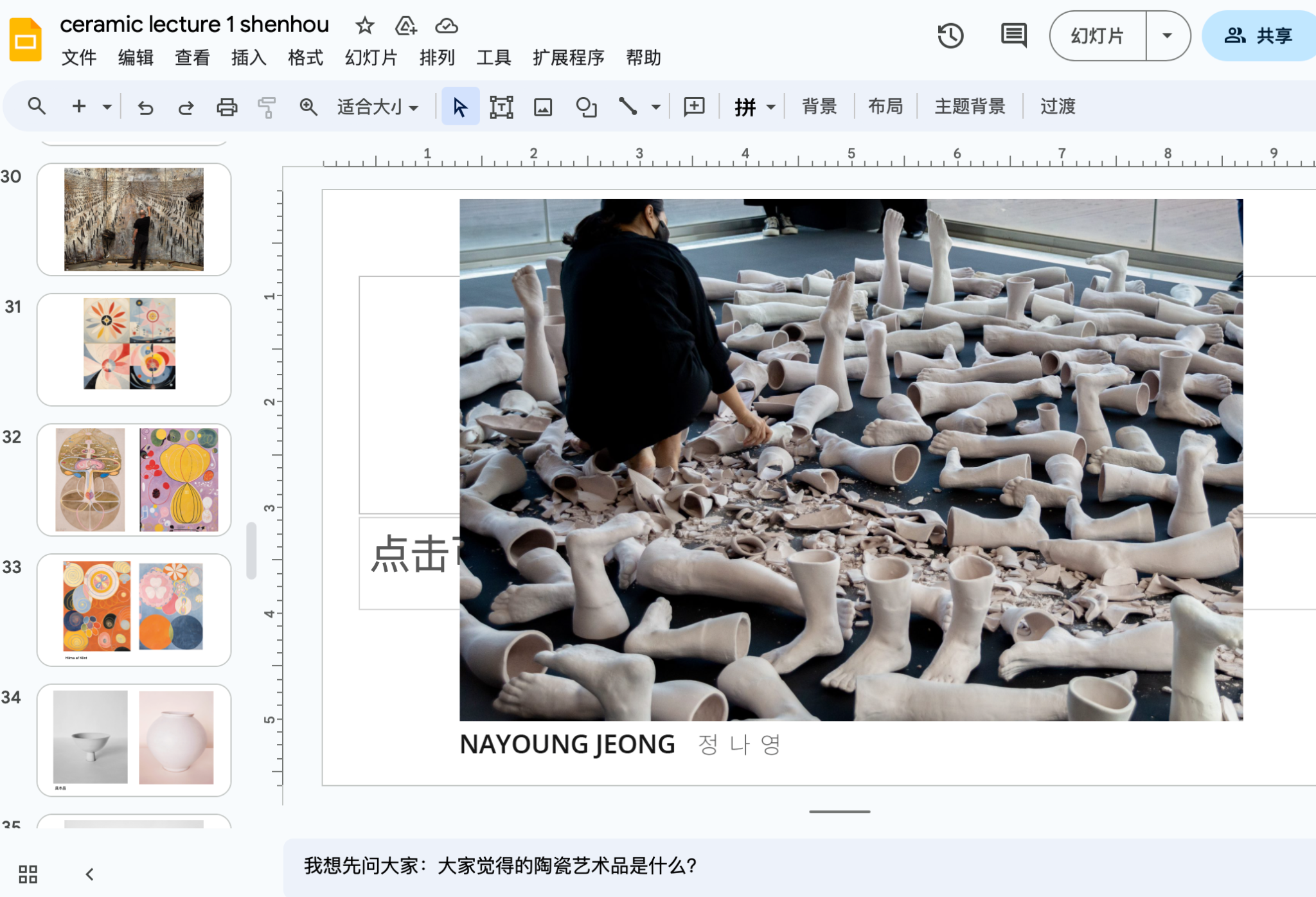
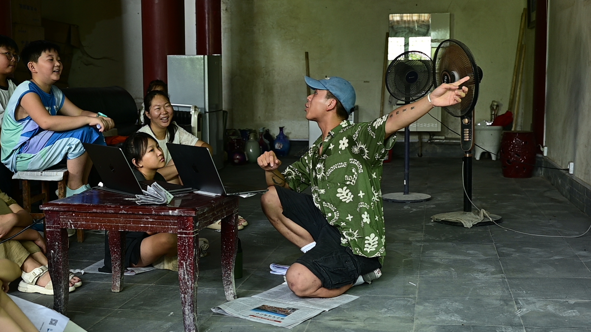
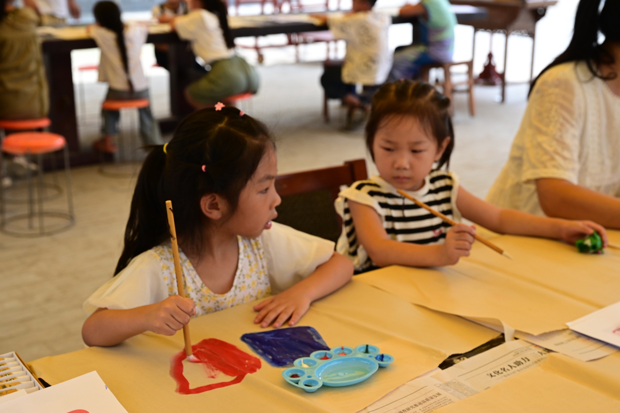
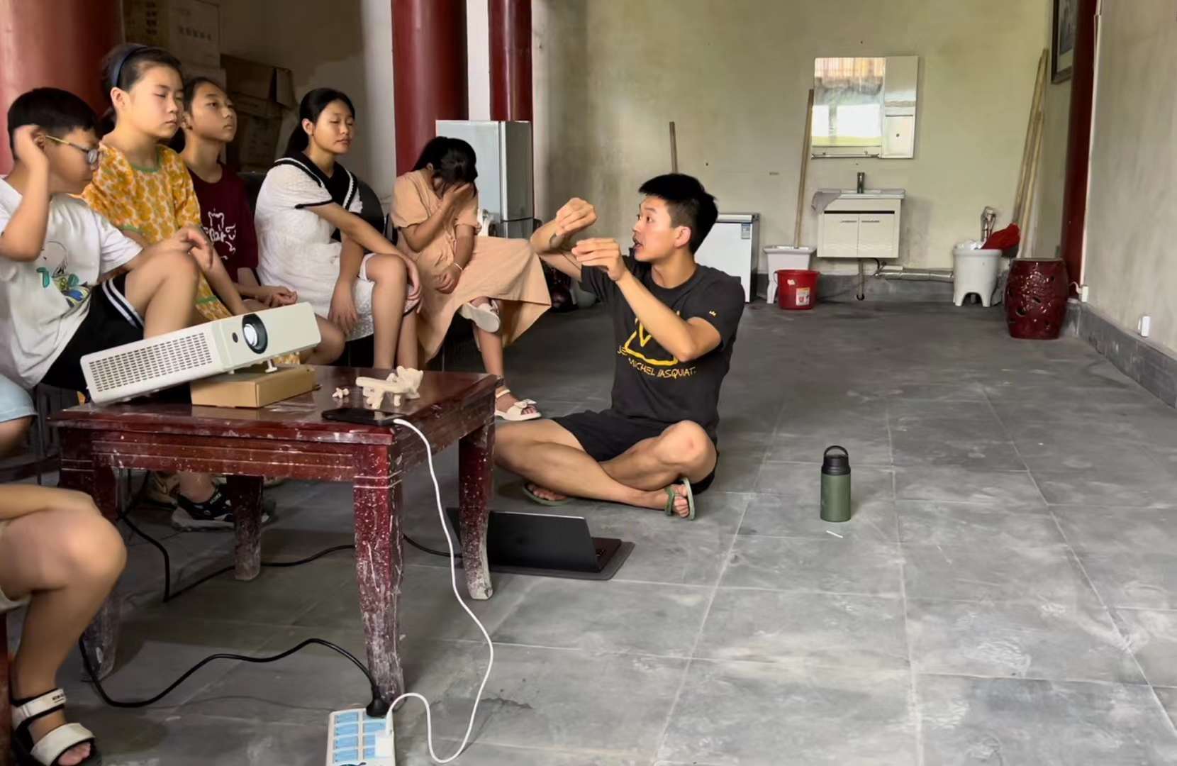
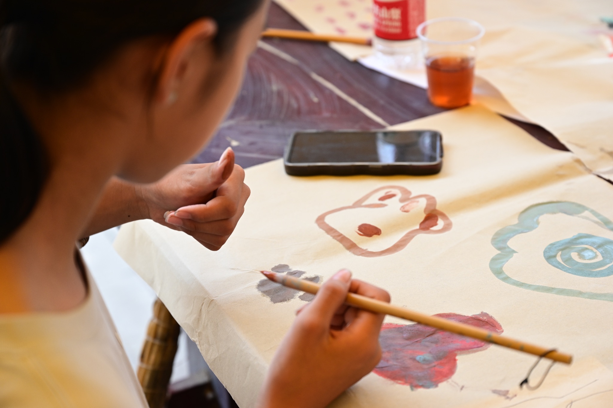
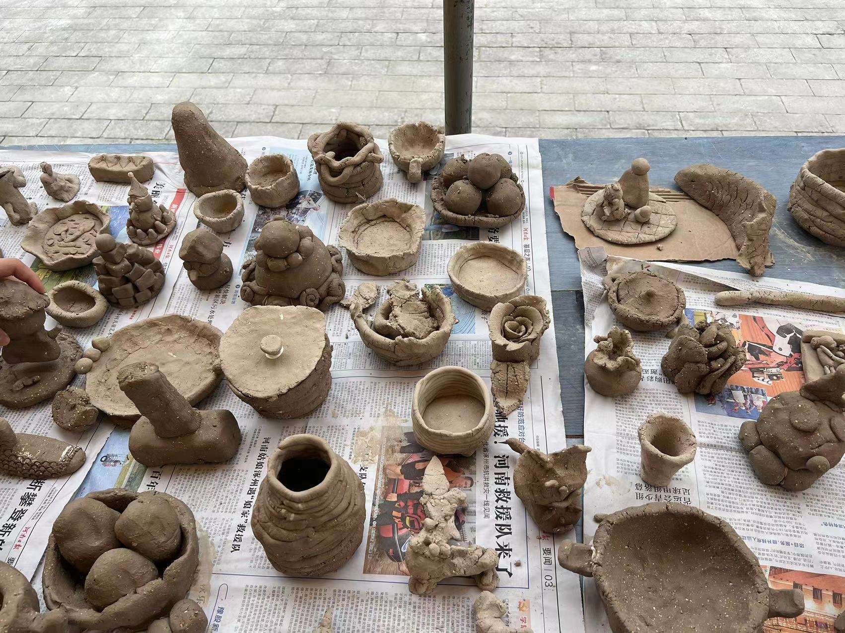
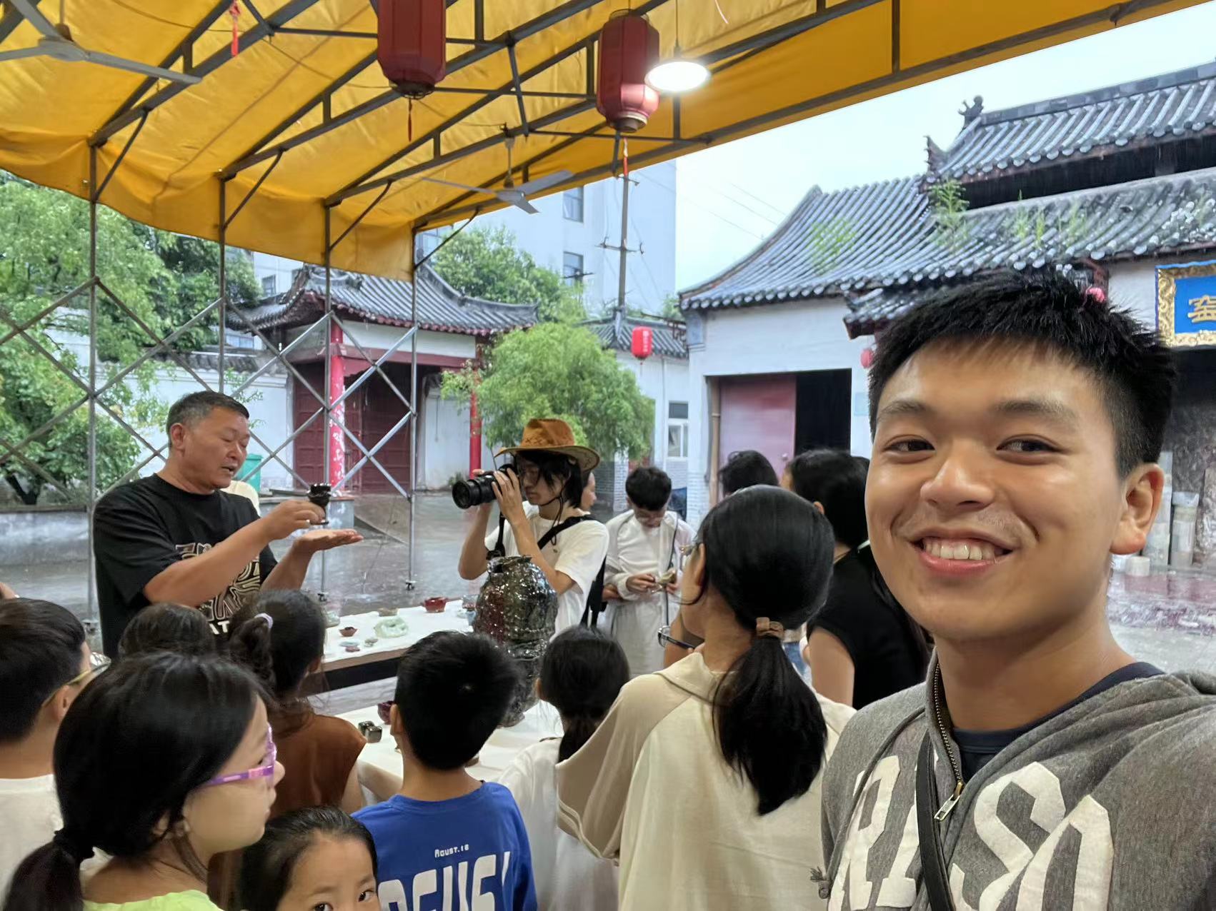
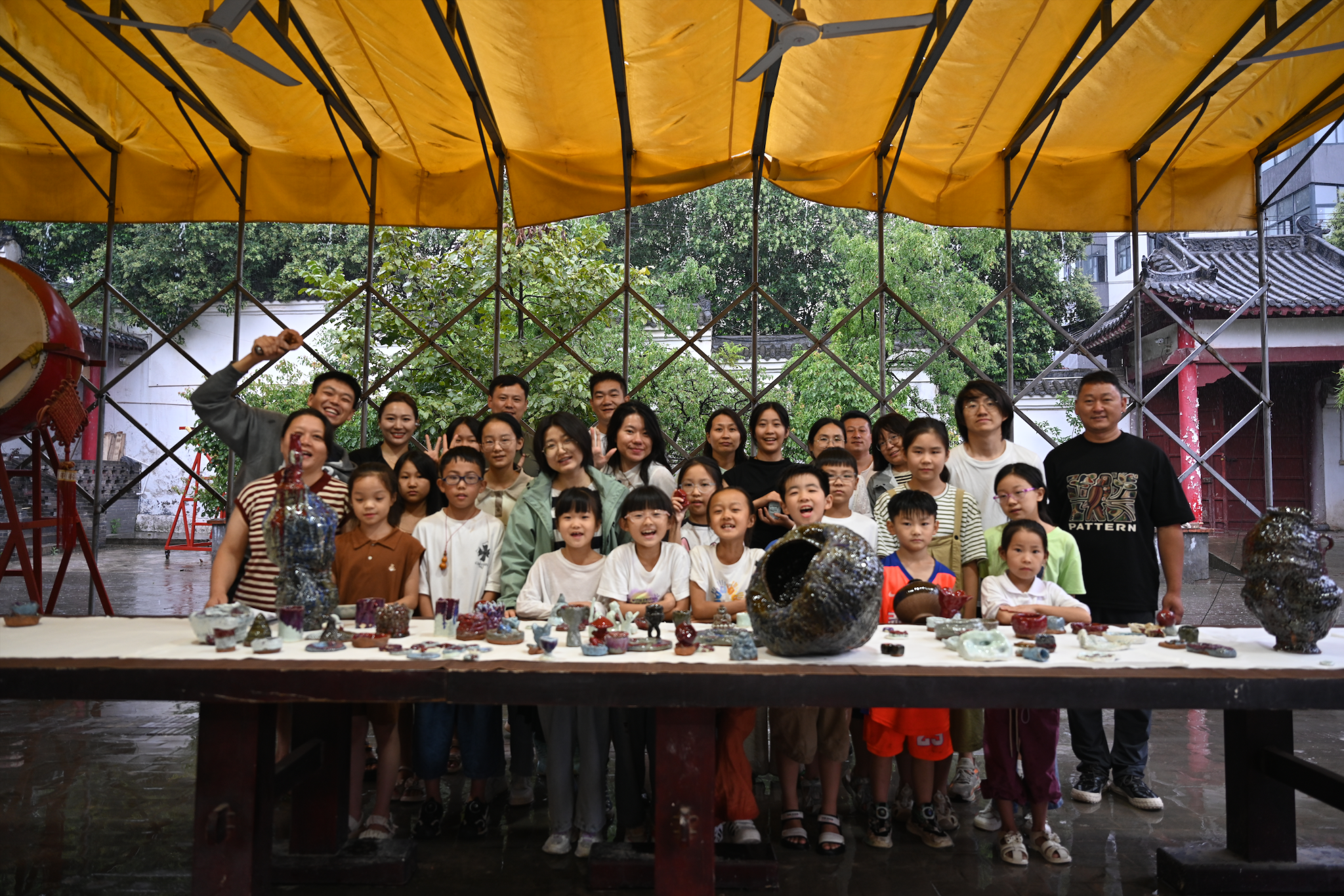
In pursuit of answers, we’ve embarked on a bold experiment, and education serves as the simplest and most direct experimental process. With the generous support of the largest porcelain factory in Shenzhou, the Da Song Kiln, and the Maharam Fund, we organized a summer ceramics camp focused on ‘contemporary art.’ This art workshop involved 30 local schoolchildren selected from the public. In this camp, we deconstructed the concept of ‘contemporary art’ and dismantled all preconceived notions about Jun porcelain. The result was an array of whimsical creations from a fully-charged kiln. For ten days, there were no rules, no requirements, and no homework. We not only supported the students with a studio art class but also invited a literature volunteer to guide the kids in writing statements and poems. In the first lecture, I introduced some contemporary performance artists who would have utilized the interaction between their bodies and clay to present their ideas, like my professor Nicholas Oh, and RISD alumni Nayoung Jeong. In addition, I also displayed some famous post-modernism and abstract painters, like Keifer, and Hilma af Klint. It is pretty brave and radical to discuss contemporary arts with these 10-year-old children in ritual. Out of expectation, the class was very communicative, enthusiastic, and inspiring. Most children are interested in abstract art with thoughtful patterns, colors and constructions. Kids’ active replies and exploration of those conceptual works also evoked my imagination about the abstract arts, which is way beyond the knowledge I learned from art history. Some kids’ parents audited our lecture and then they participated in the discussion naturally.
Meanwhile, the tug-of-war with the kids is exhausting. To be honest, the 10-day process of the workshop is also a big challenge for these little kids. Whether we can categorize these brief, heartfelt children’s creations as art is uncertain, but they unquestionably glowed with the radiant light of childlike innocence and sincerity. Like a charming, nonsensical melody or a handful of poetic verses, they encapsulated the pure essence of childhood and pointed to the innate artistry within us all.


Merging me in the origin of Jun Ceramics
The view out of my train heading to Shenhou, Henan.

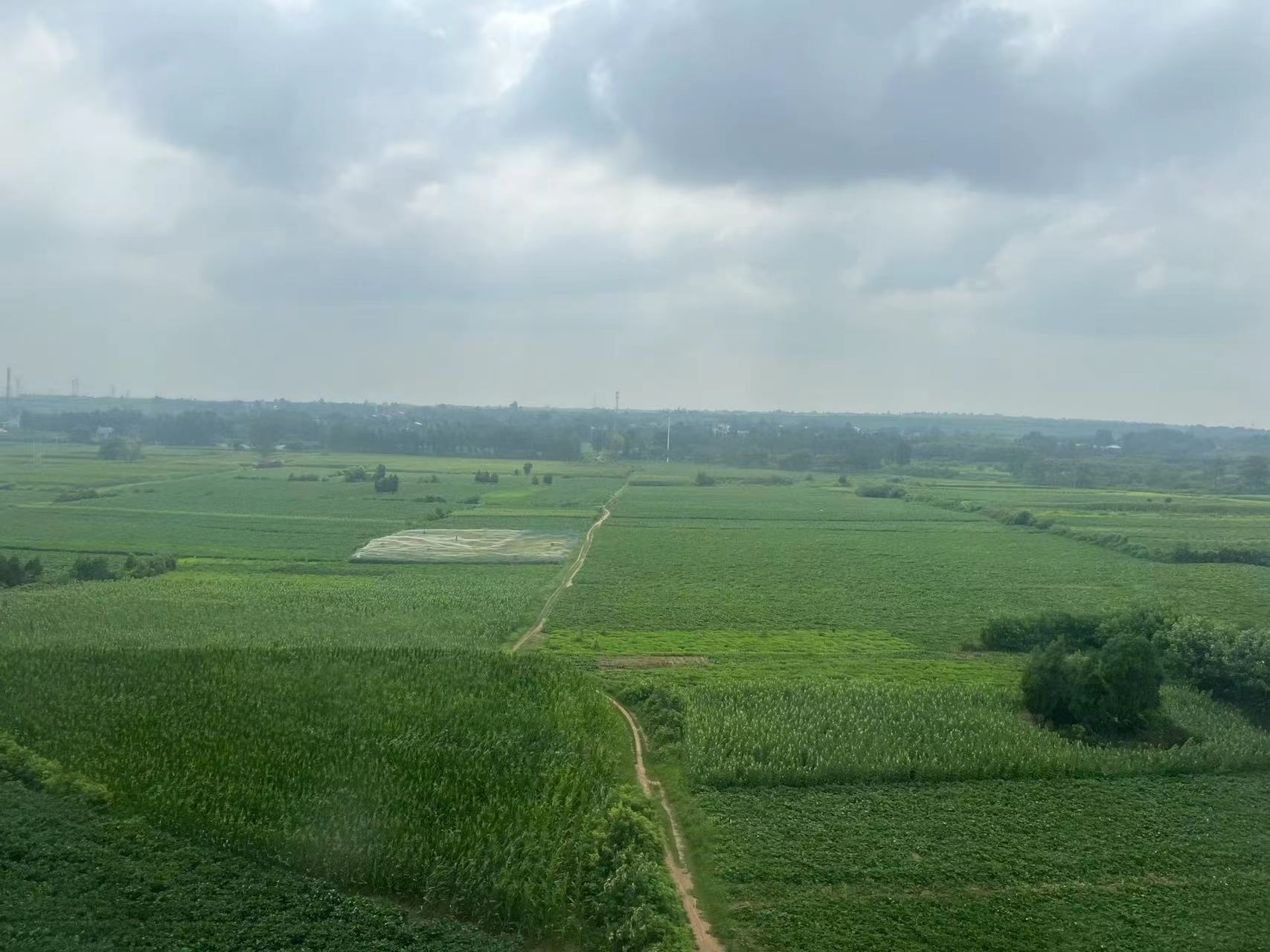
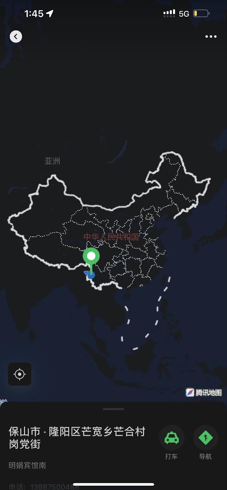
Long-distance travel from Baoshan, Yunnan to Shenhou, Henan.
The travel from Conggang, Yunnan to Shenhou, Henan is crazy and intimidating. it was such a long distance starting from the southwestern broad of China to the central plain of China. I traveled by motorbike, bus, and train from Conggang to Shenhou County, Henan, where I will be implementing my proposal for art and ceramic education. It was a true adventure. This intensive comparison educated me about the polarization, complexity, and diversity of this country with rapidly growing economic levels. Even though we are focusing on art education in Chinese rural areas, it remains a bold and challenging endeavor to efficiently and practically implement these educational activities. Nevertheless, the potential, talents and creativity still surprised and empowered me after witnessing the actual teaching in Conggang, Yunnan.
To be honest, the arrival of me at Shenhou bewildered me. Skhenhou is much more urbanized and developed than where I came from, especially in people’s recognition of the arts. I looked forward to starting my field study of the residents and having a connection with this county. My collaboration with Miao, the leader of Rye Wave, who is a native of Shenhou, Henan, greatly facilitated my integration into the Shenhou community. In addition to knowing the basic rituals, arts, ceramic market and even folk cultures, I exploited the resourcefulness of Miao’s family ceramic industry Song Royal Kiln. They gave me a brief and clear introduction to the general ceramic world in Shenhou, plus a vehicle – an electronic motorbike – to help me hang around in the county. Besides, I gained big privilege to profoundly dive into every step of this huge ceramic industry, including design, production, marketing, administration and delivery. Song Royal Kiln is like a cat’s eye on the mysterious Mansion, allowing me to quickly glimpse into the secretary world of traditional Jun ceramics.

The help from Song Dynasty Royal Kiln
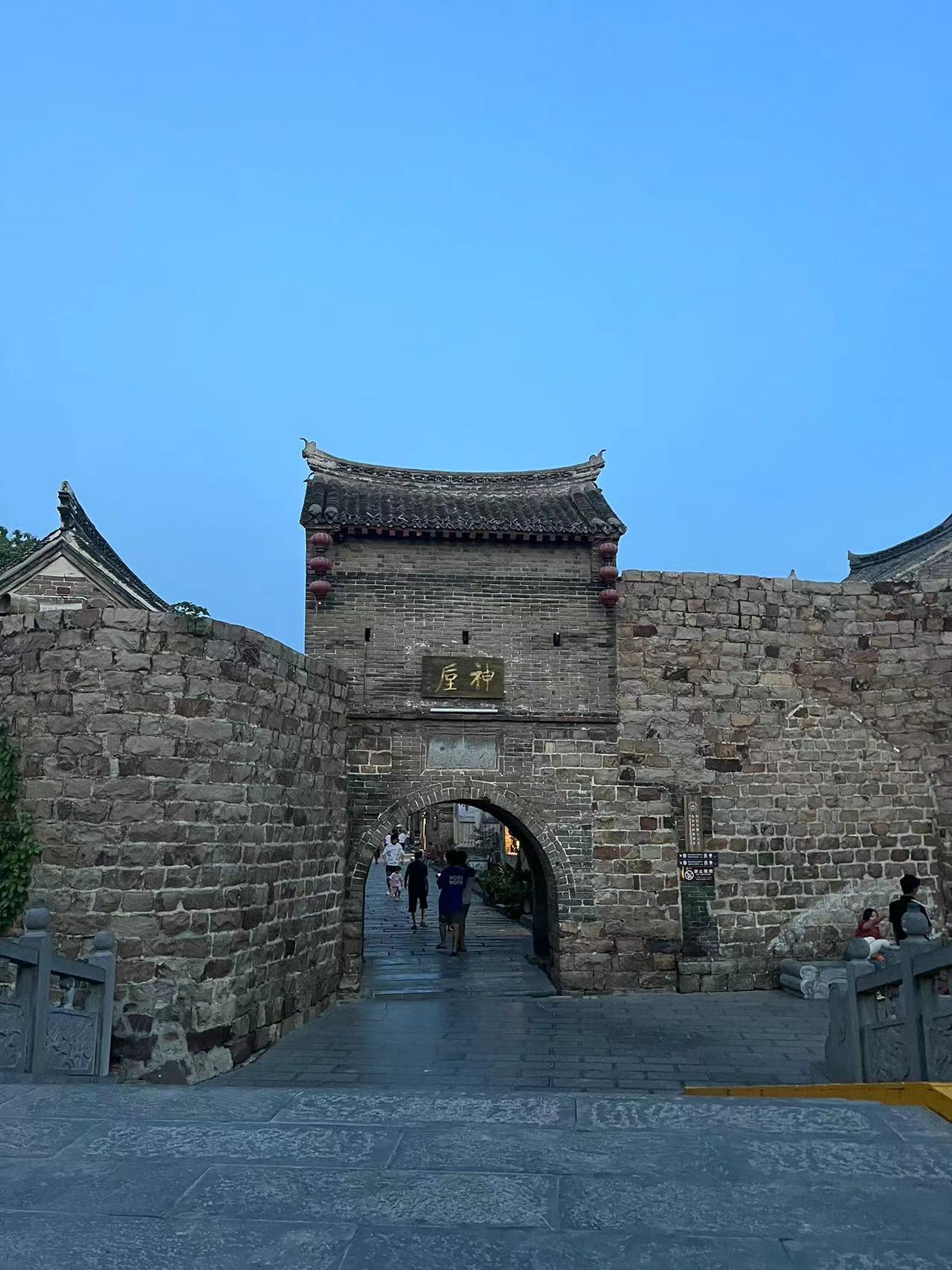
Location of my Chun ceramic workshop: Shenhou, Yuzhou
Song Dynasty Kiln helps me fitting in the Jun ceramic industrial smoothly

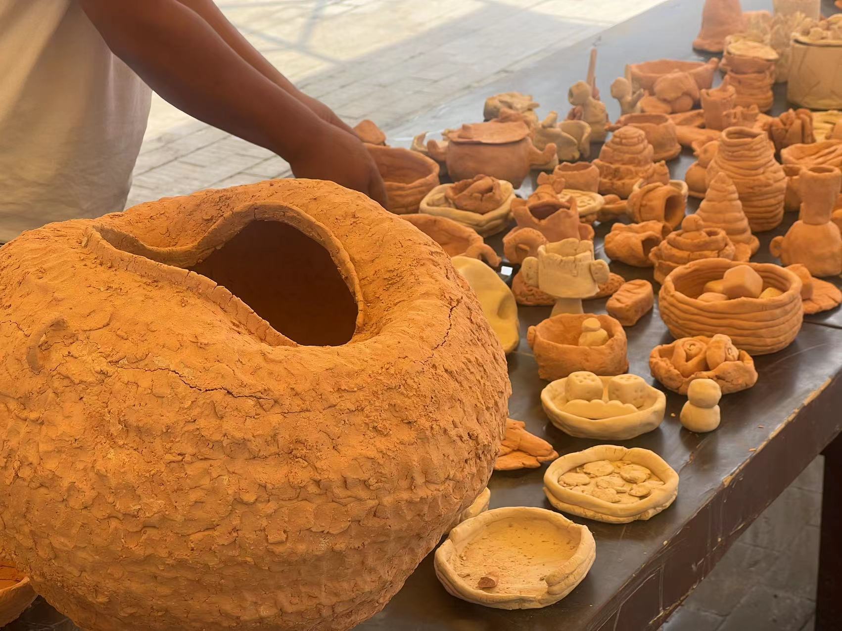
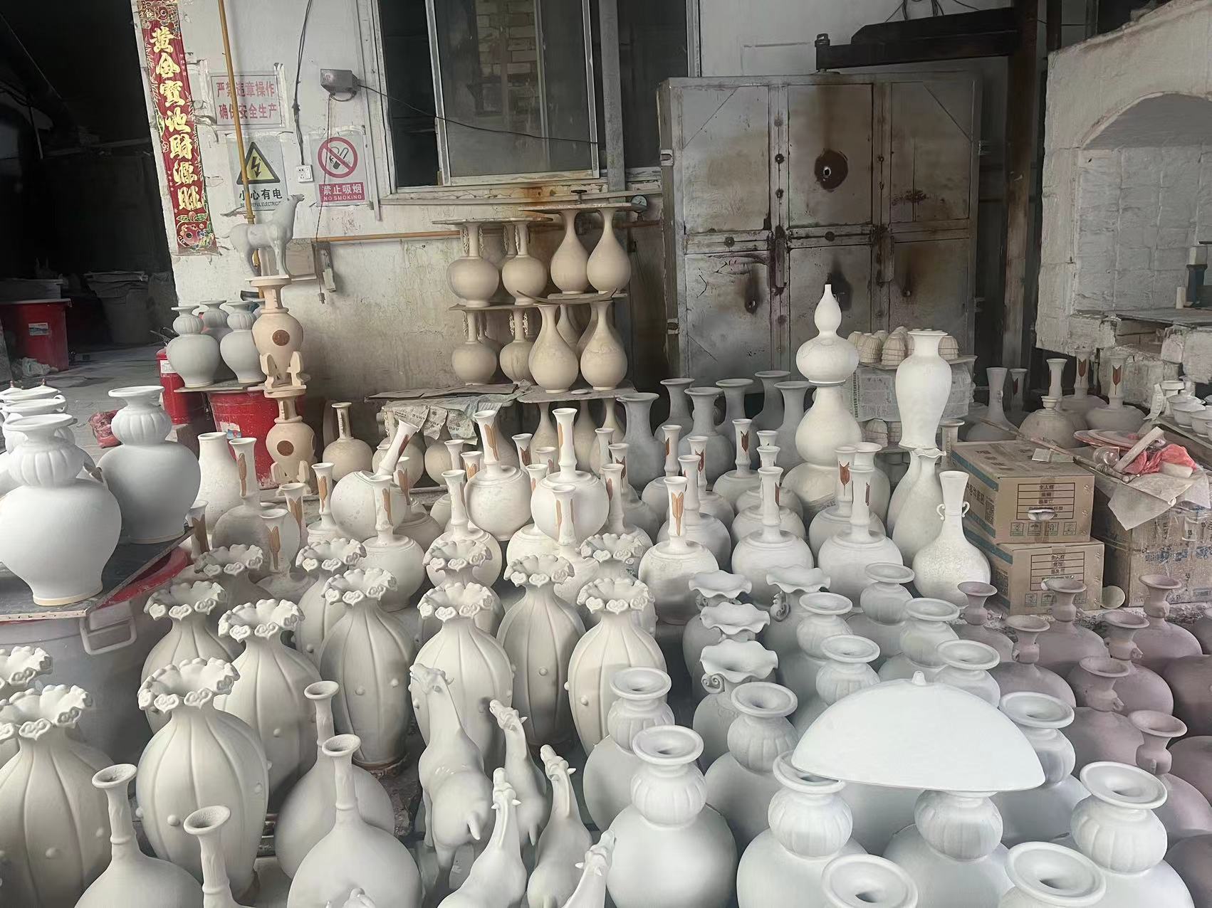
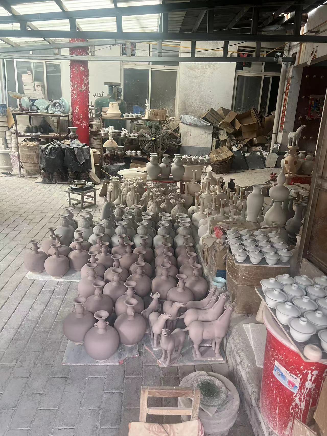
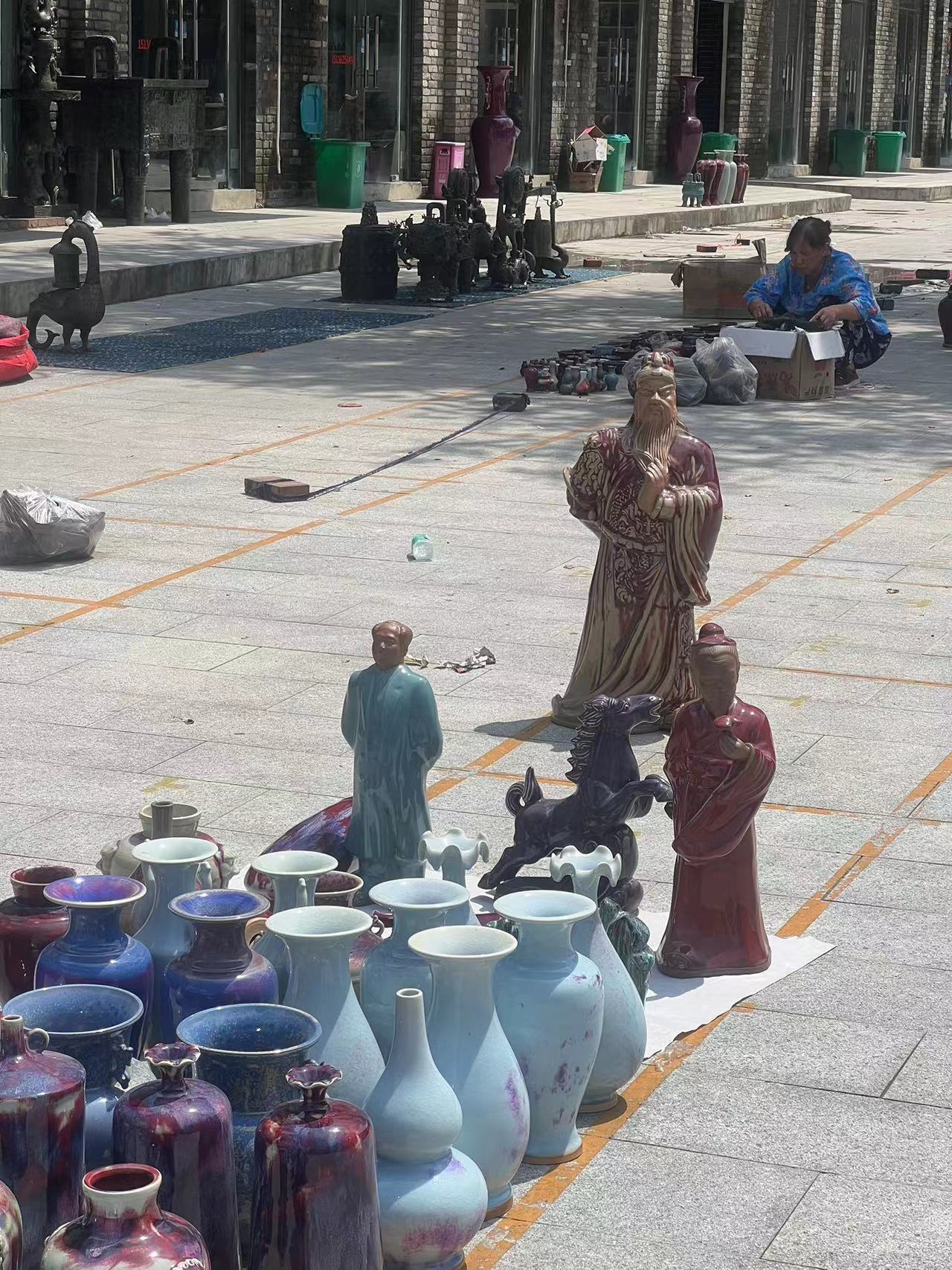
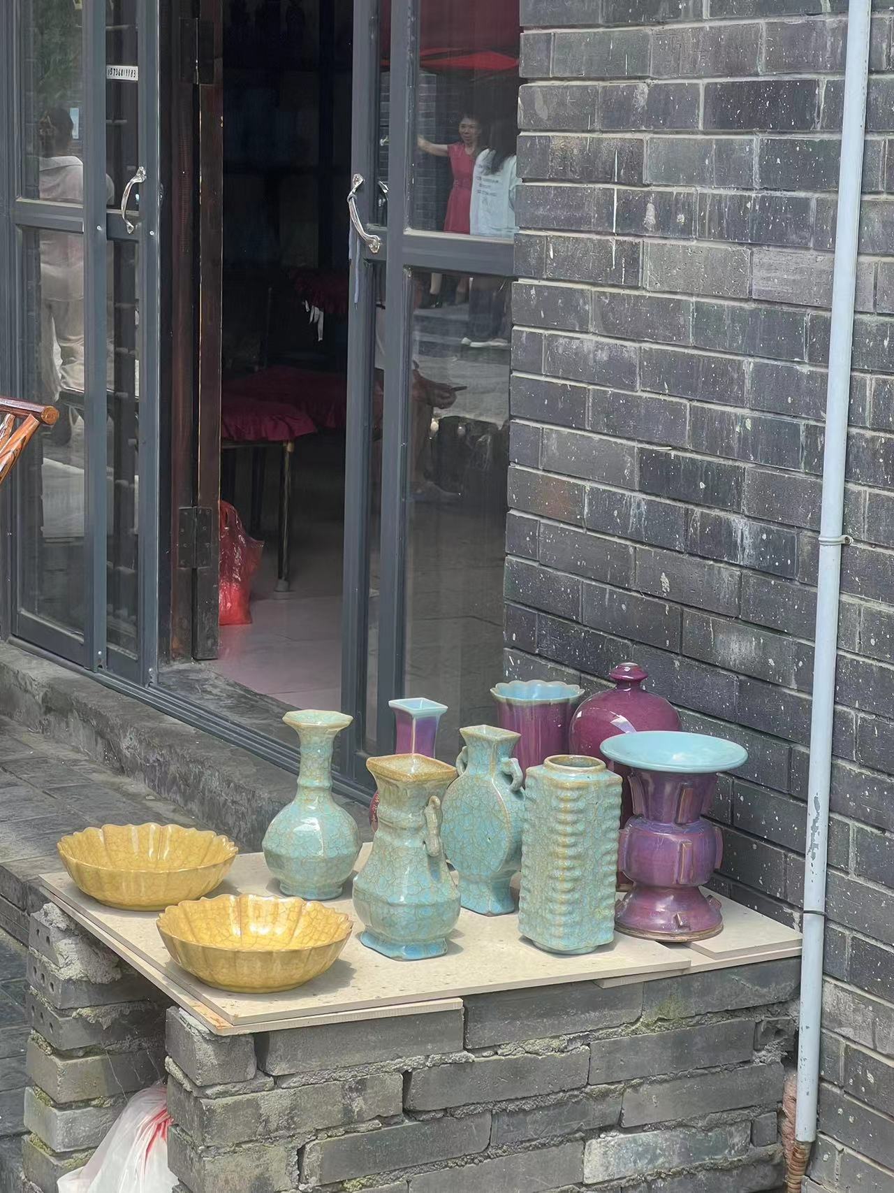
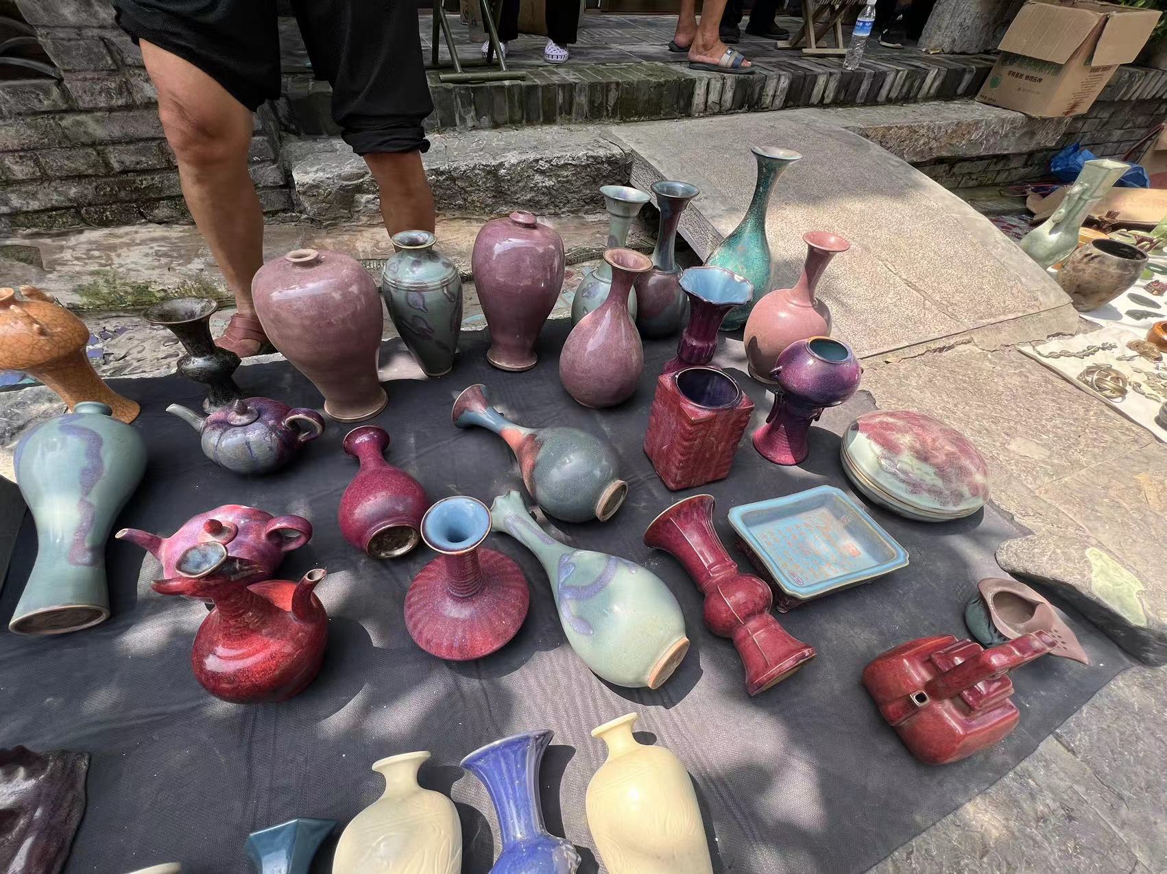
This whole county is all about Jun ceramic making

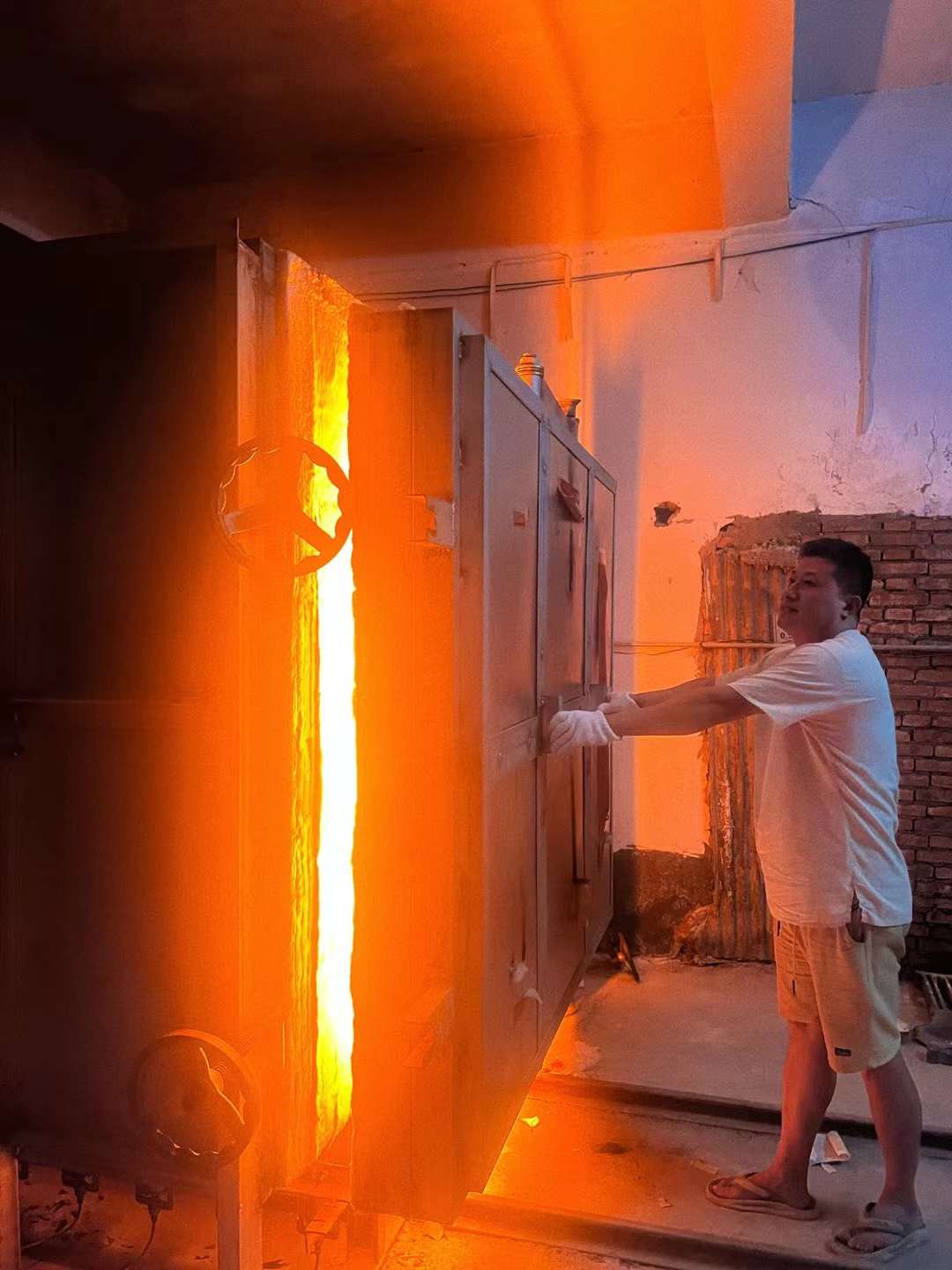
Tranditional wood-fire process
Except for the teaching and administrative part of my job in this fellowship, all communication between me and the residents is becoming my largest gaining in the process of my practicing. I enjoy this kind of old-fashioned way chats with the neighborhood on the street, purposelessly. Some of them take a walk after eating dinner, and some of them cool off under trees in this little county. Everything goes slowly and peacefully, while everyone slows down their steps. After talking with some local parents and elementary students, I found the absence of professional art education. The Chinese government has implemented nine years of compulsory education, but art classes in actual schools have often been overlooked or crowded out by other subjects such as math and literature.
Even though people are surrounded by traditional Jun ceramics, most of them have no concept of generic ceramic arts or the arts. To the public, Jun ceramics have become an iconic symbol in the historical culture. Nevertheless, one of the essential distinctions between parents in Henan and Yunnan is that they were more than willing to send their children to participate in the non-profit program. They were aware of the demand for art education in rural areas. So the advertising and enrollment of local students have been very smooth and successful, and some parents are fully supportive of our public education organization. However, most of the parents in Yunnan just considered us as babysitters for their children’s summer vacation.
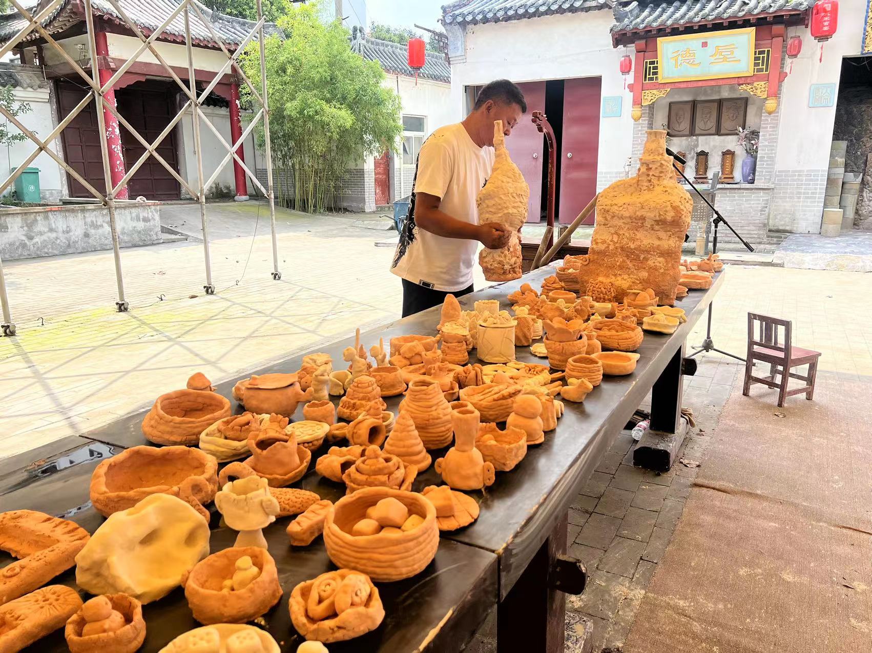
Family and studio visit with the local residents.
The advertising and enrollment of local students have been very smooth and successful
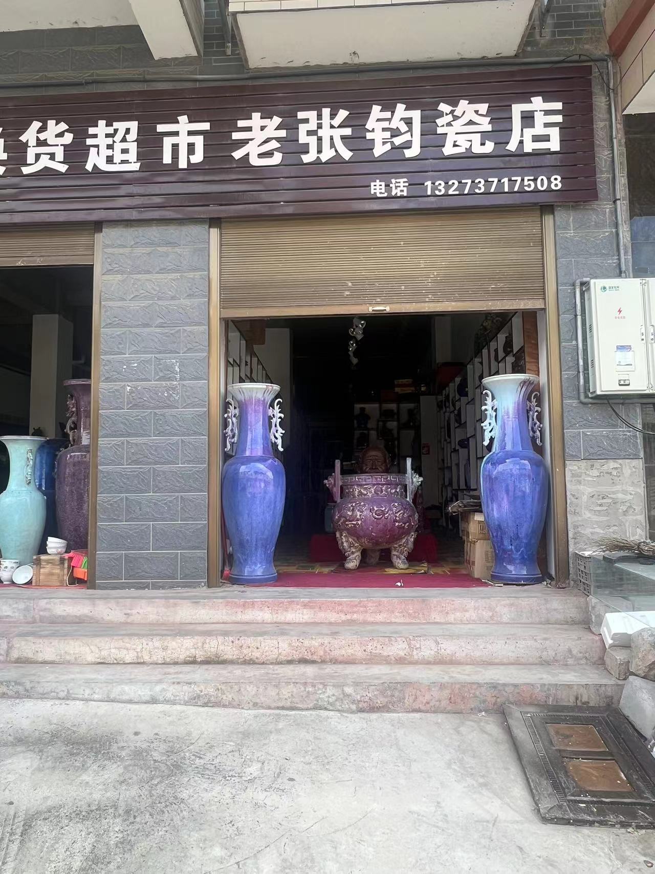
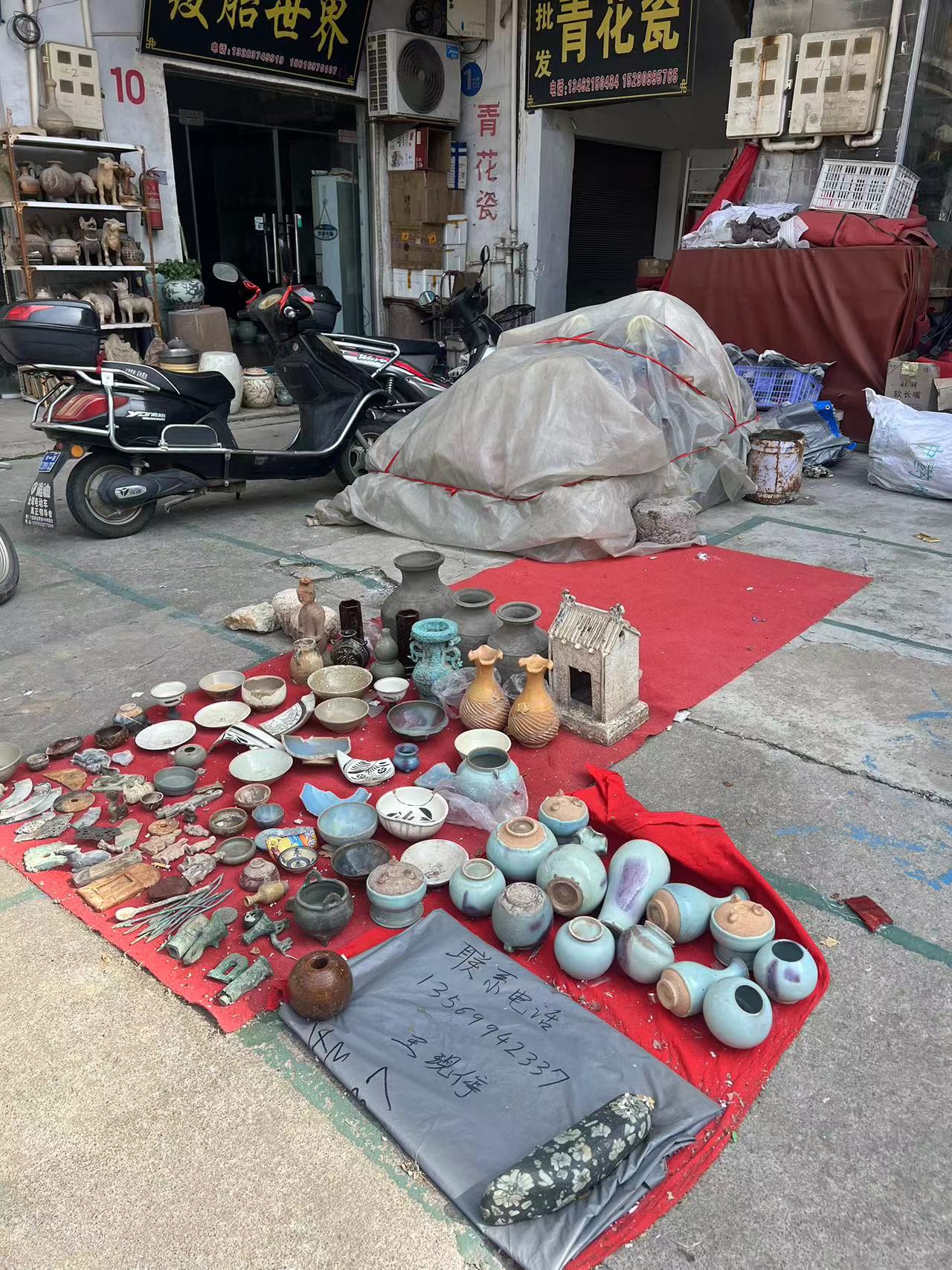
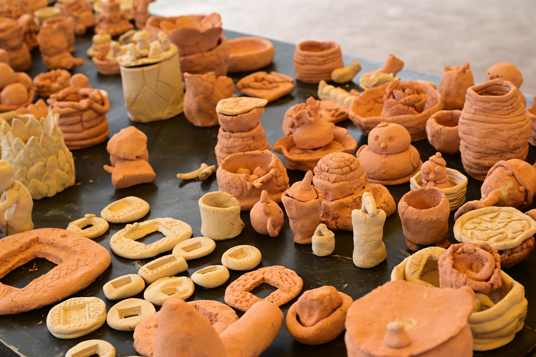
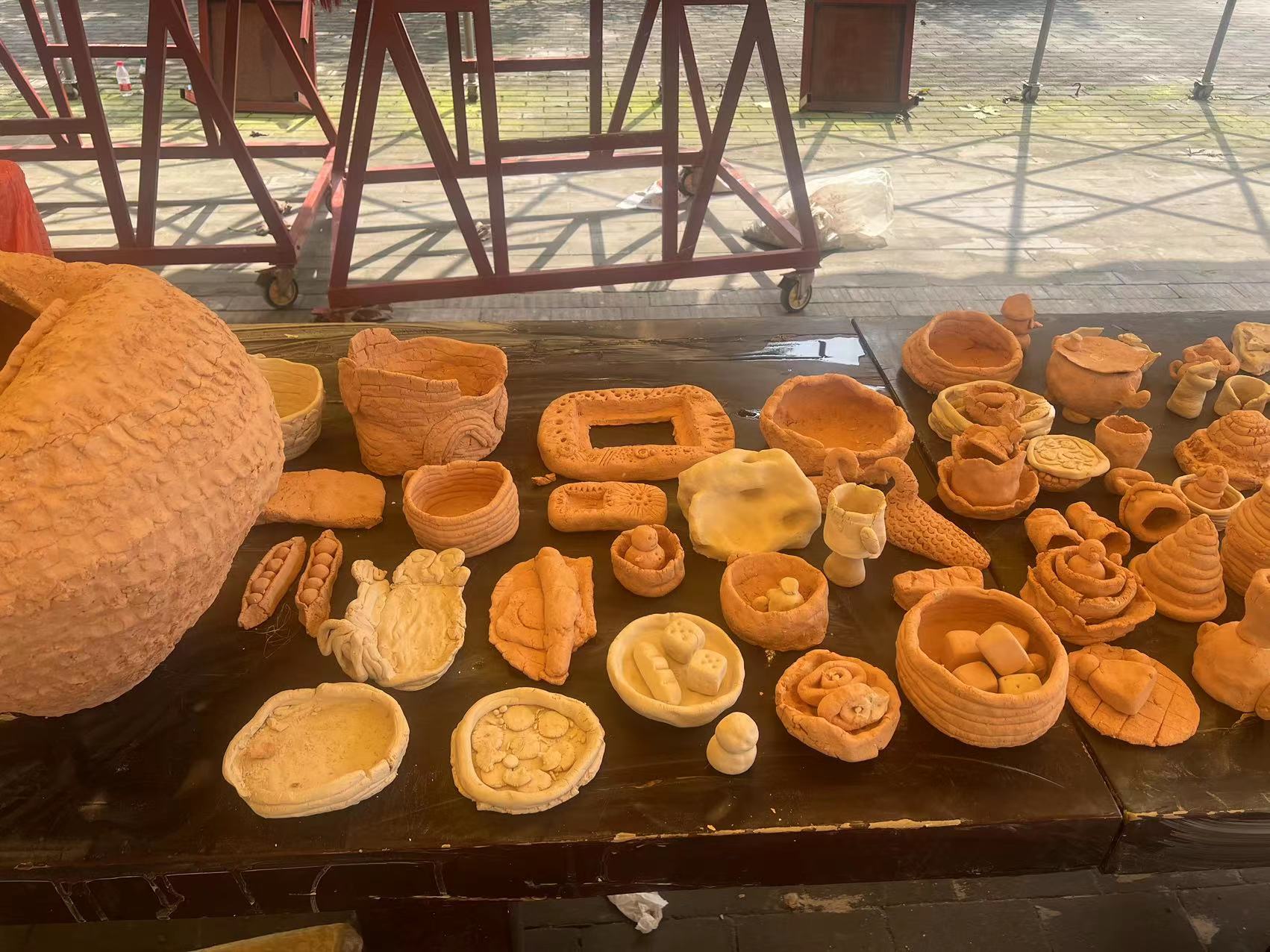
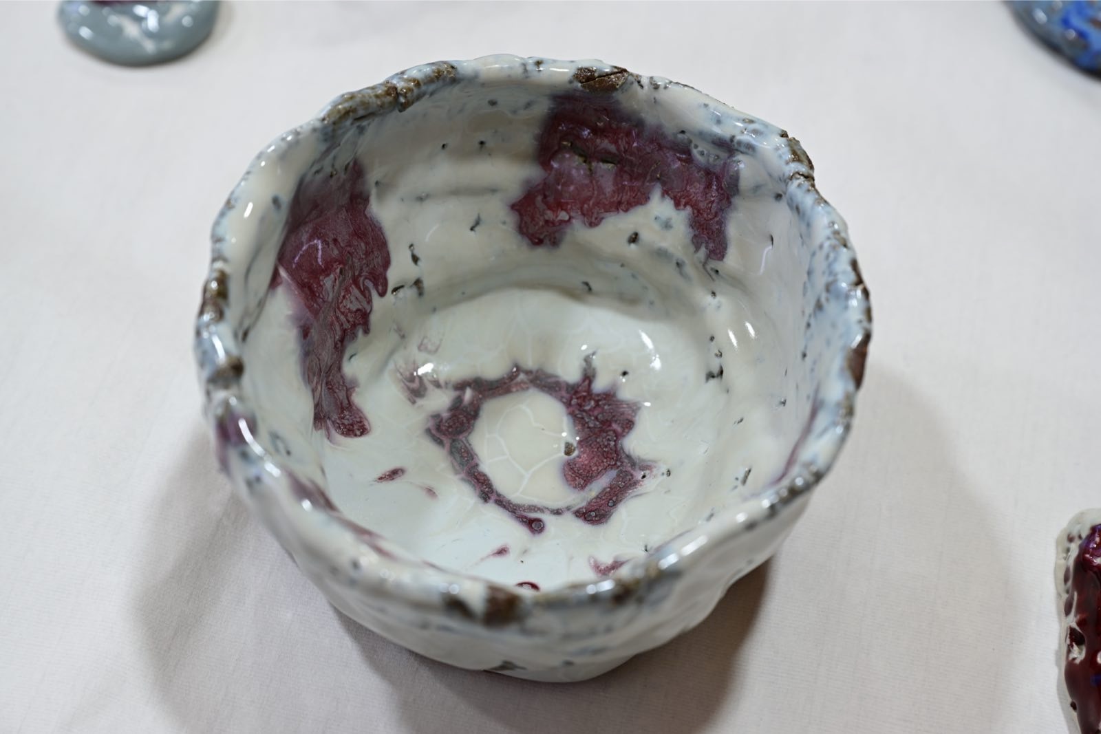
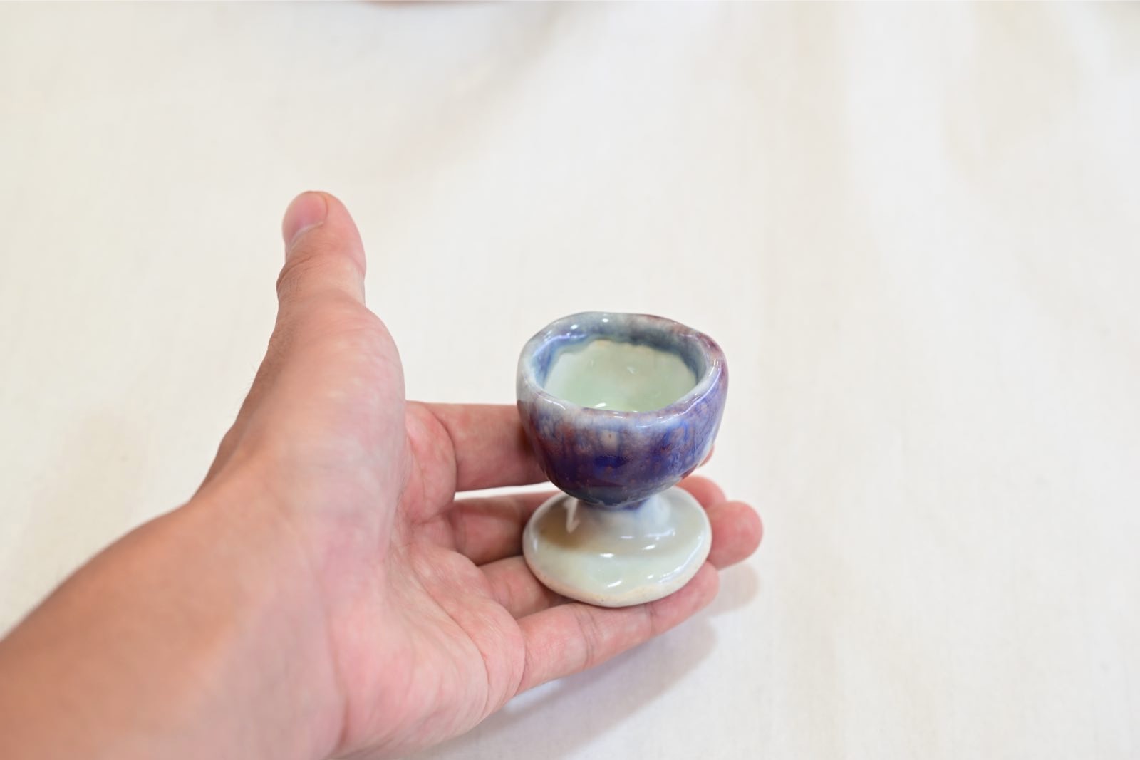
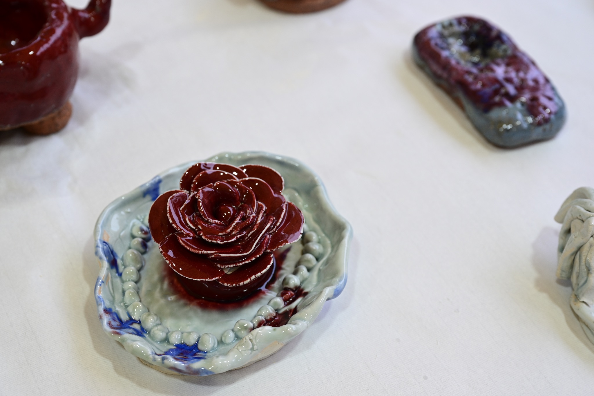
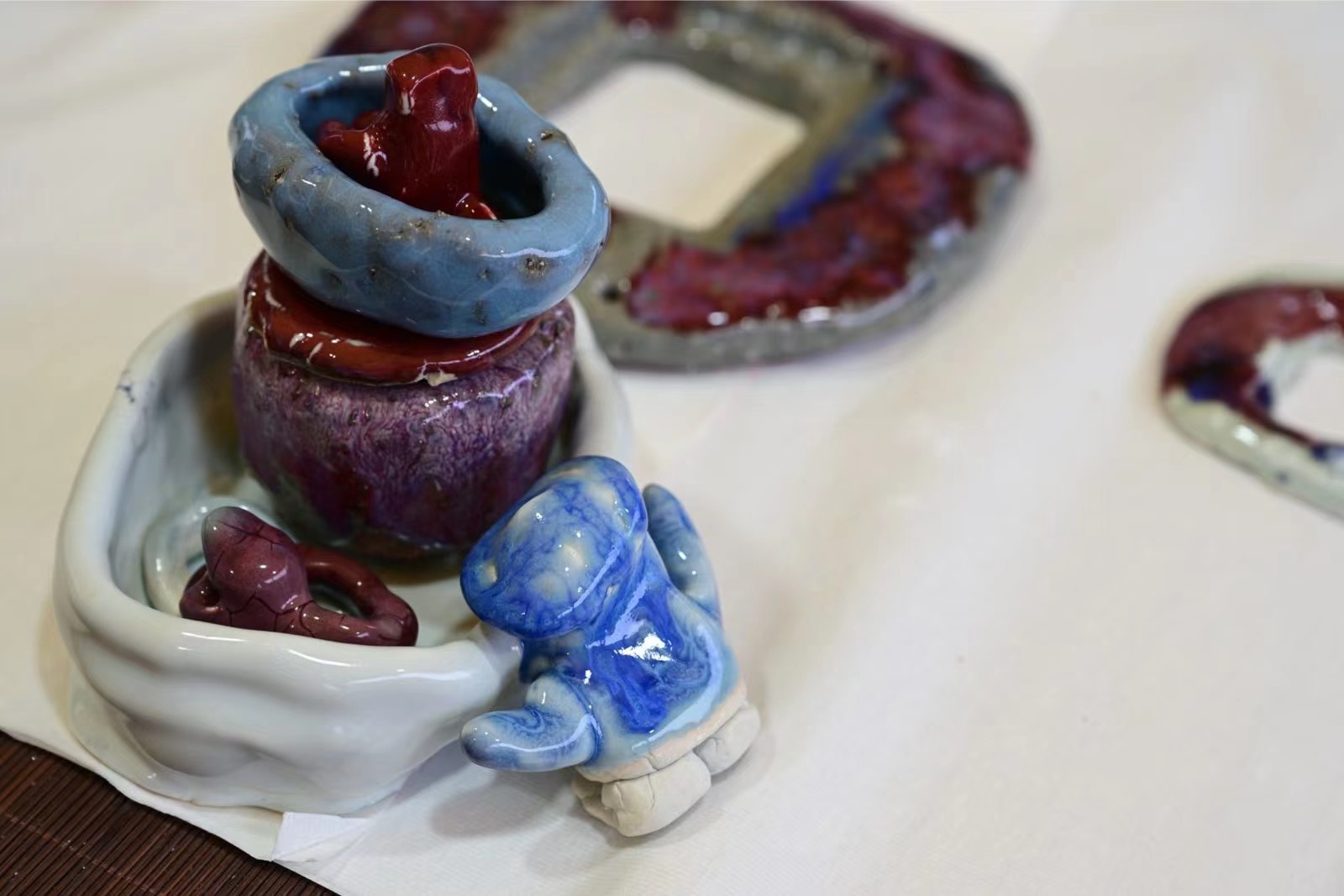
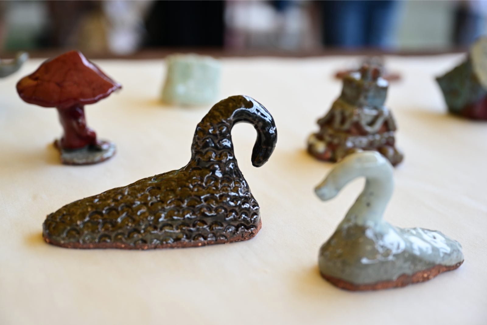
Potteries, vessels, pots, jars, and cups are everywhere.
In conclusion, conceptual thinking and creative art education are notably absent from their elementary schools, particularly in Shenhou County, as evidenced by my street interviews with local residents. In Shenhou, most of the children and families I interacted with are living in a more developed, urbanized, and open-minded environment, especially when compared to the situation we encountered in Yunnan. They have access to relatively abundant art materials, convenient transportation, and favorable living conditions. However, I can clearly discern a lack of support for arts and cultural education.

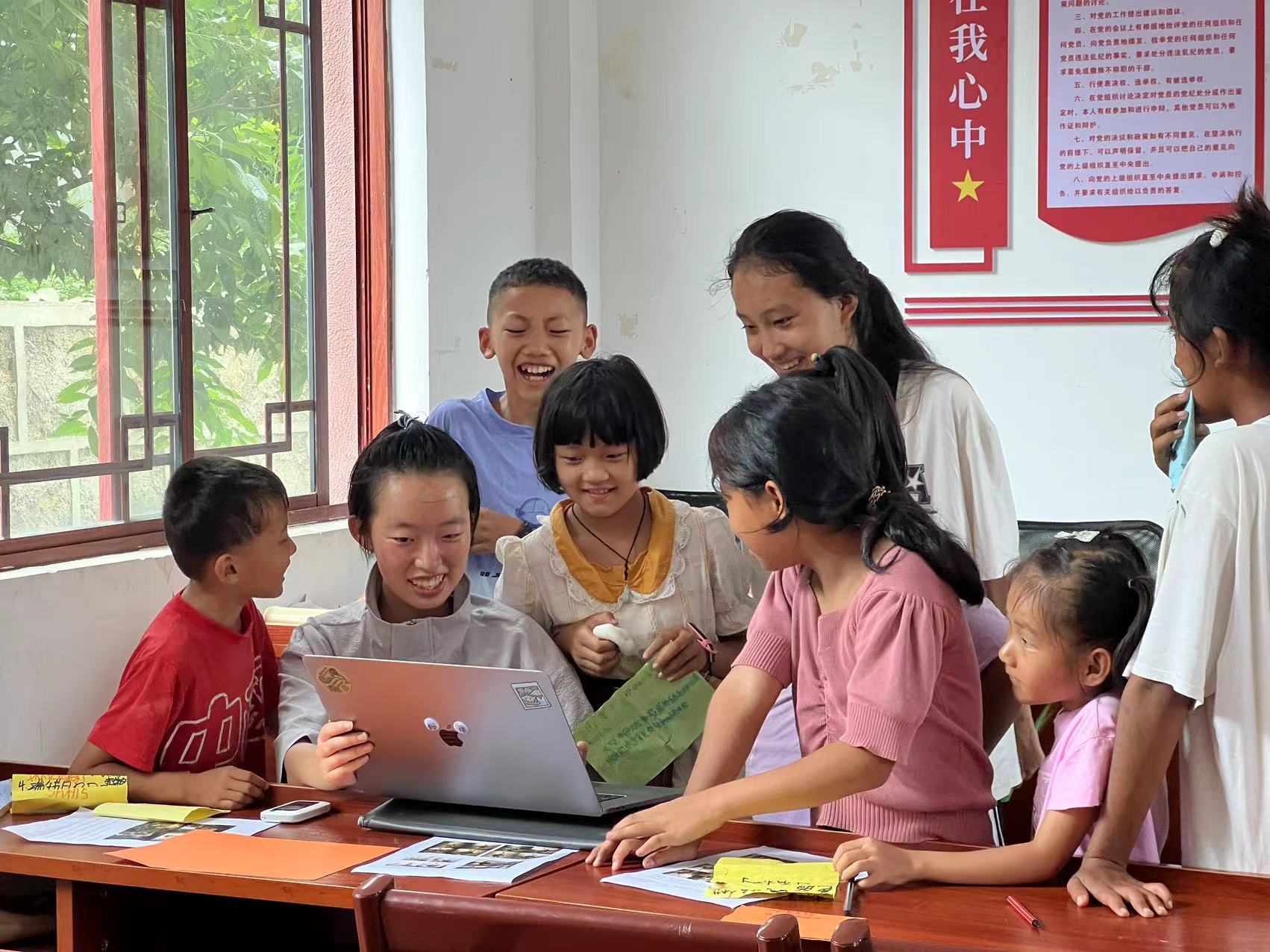
The invitational trip in Yunnan with Rye Wave — Chenxi Wang, BFA ceramics 23
The location of this south-western frontier county Conggang on my Chinese map.
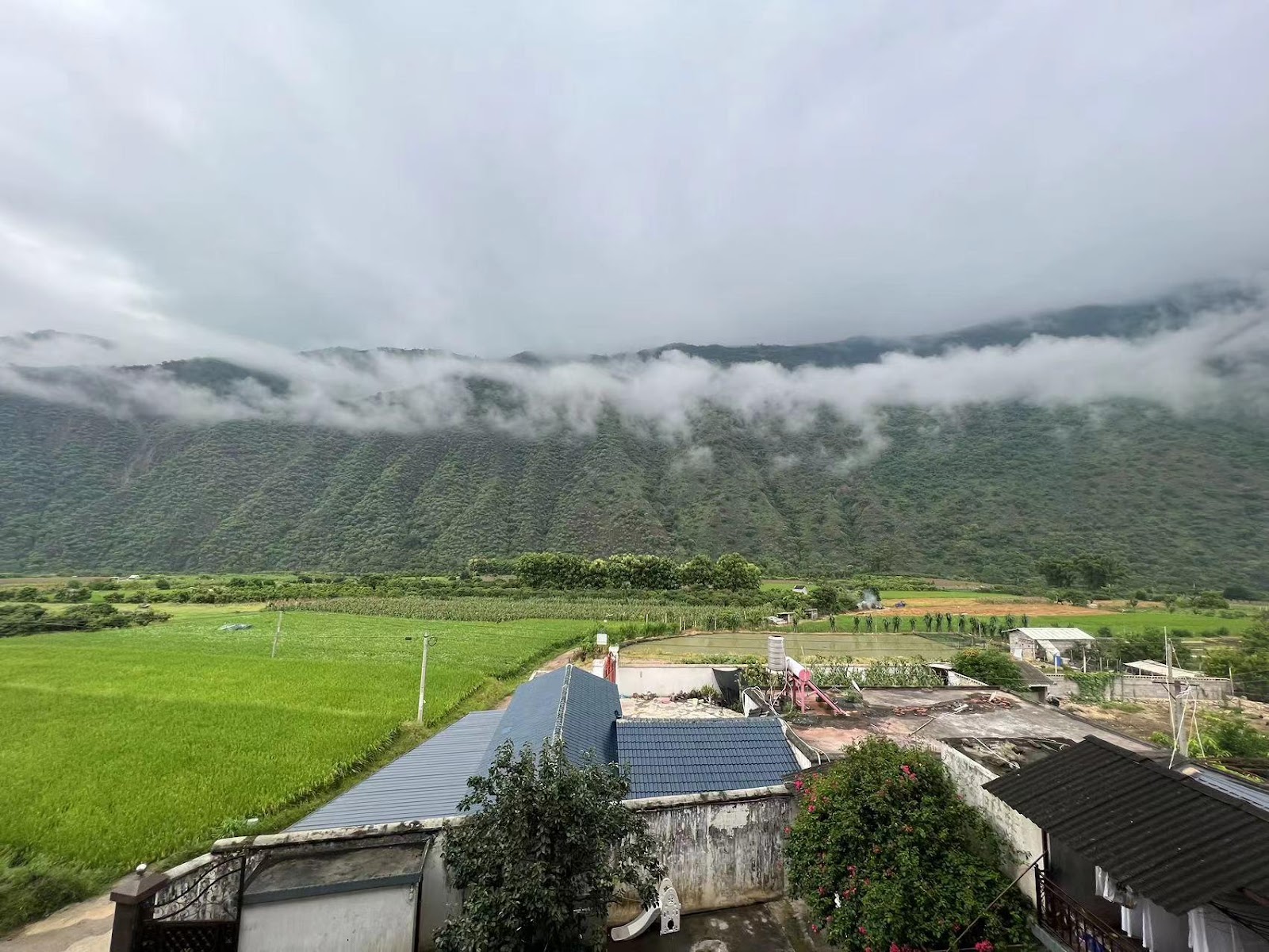
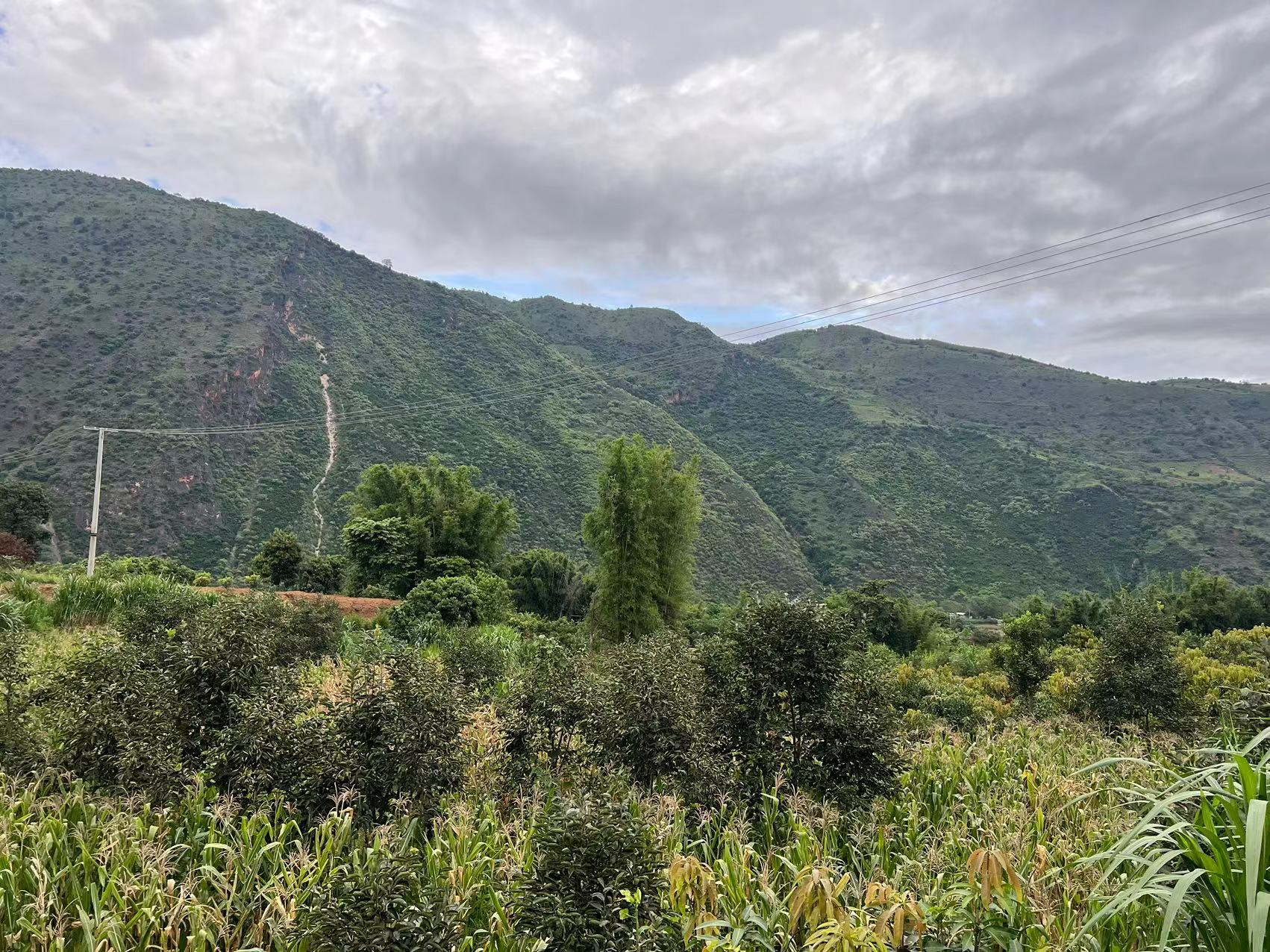
The landscape of the Mountain Gaoli at Conggang, Yunnan.
I am sorry that I began my Maharam fellowship in person quite late, following the completion of my local residency in the United States and the return of all my belongings to China. However, this delay did not equate to minimal participation in meetings and communications with the collaborative NGO organization, Rye Wave. I truly appreciate Rye Wave’s patience during all those Zoom meetings and online chats.
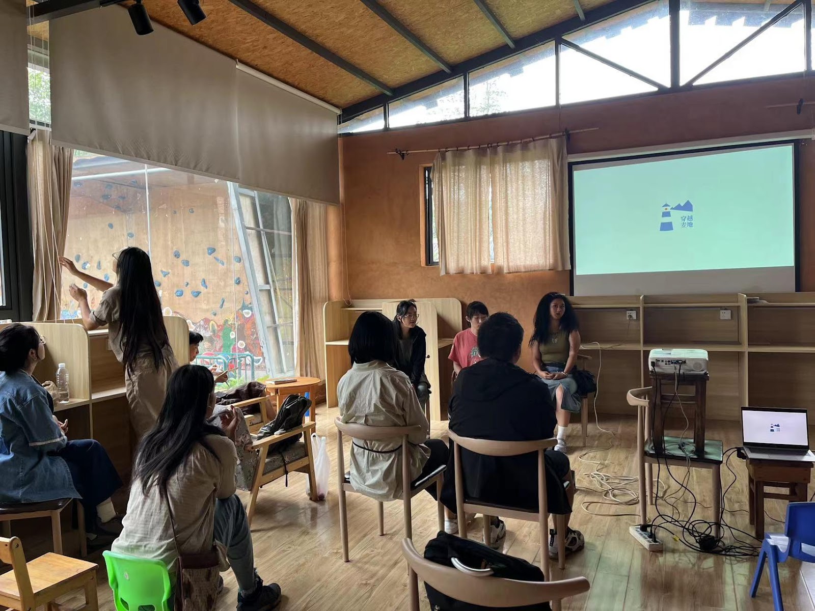
In Conggang, Yunnan, where Rye Wave initiated its non-profit ritual art education program, approximately ten young volunteer artists conducted eight innovative art courses. I was honored to preview and co-prepare for the art classes with the rest of the artists from Rye Wave. Even though I just audited most of the syllabus meetings online from July 4th to July 10th, I gained a clear understanding of Rye Wave’s rural educational goals, styles, and methods while discussing the syllabus and teaching process led by Miao Linyu.
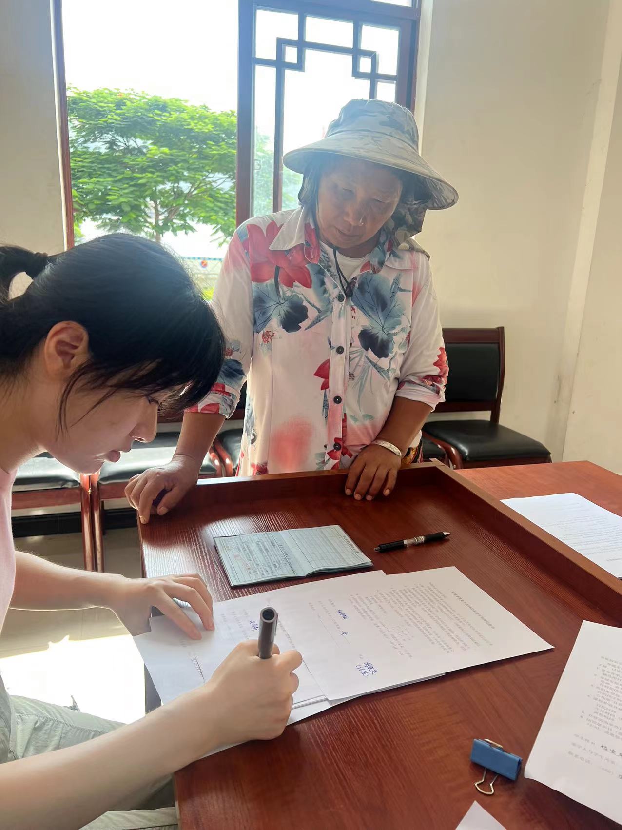

The communication between us and the local residents in person
For instance, after researching and visiting those minor ethical families, we learned how to use simple language to engage with local minors aged 10 to 14 years old. Some kids might have never left the village, so we had to consider introducing basic art materials and tools that were not easily accessible in Conggang. While auditing and observing volunteers specifically involved in this Yunnan program, I fully comprehended the challenges of conducting art education in rural China, especially one in ritualistic situations. Establishing an avant-garde art space in a frontier county of China is demanding, exhausting, and time-consuming, yet Rye Wave has persistently invested three years.
- Linyu Miao
- The leader of Rye Wave
- BA undergraduate of Barnard College, Columbia
- Now she is working as a journalist for independent publications
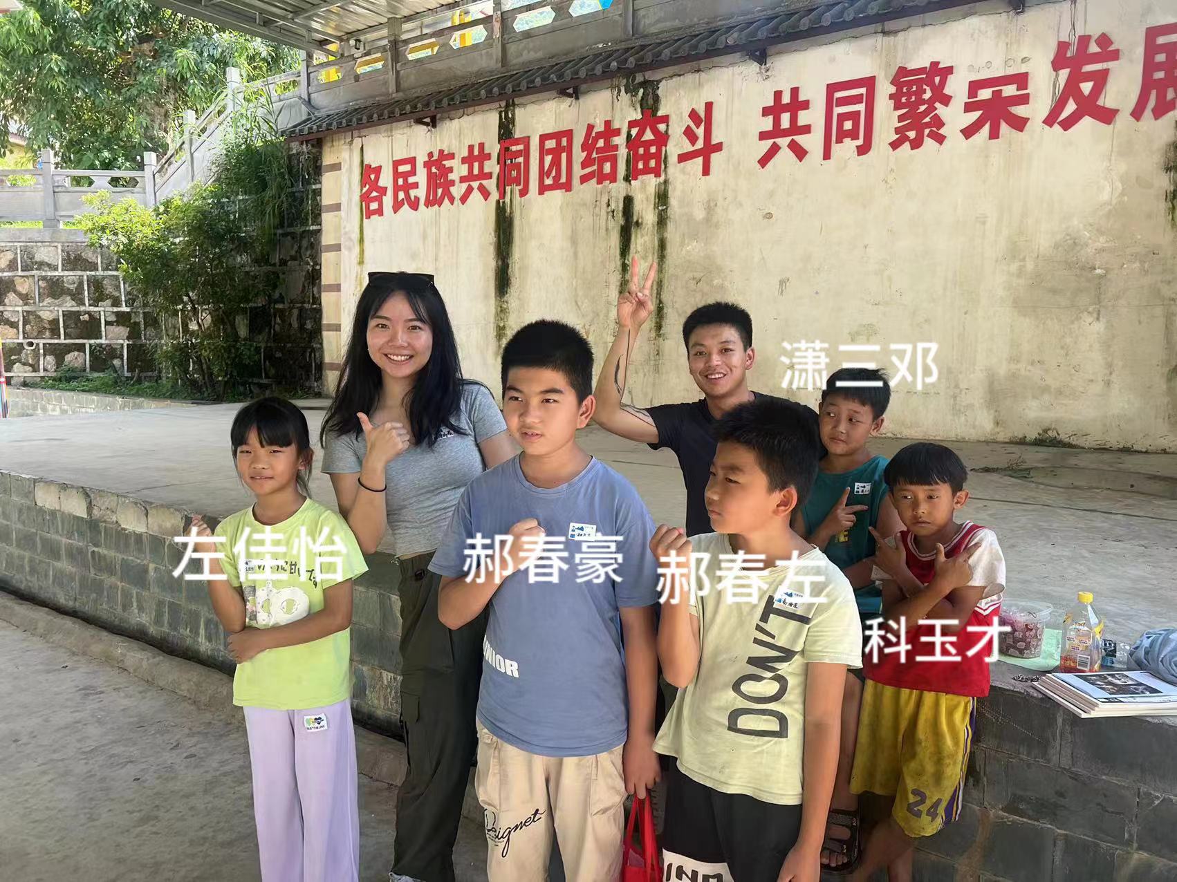
After I arrived in Conggang, Yunnan, on July 24th, I joined the large Rye Wave group, which had already established local ties, engaged with the students’ families, and conducted art activities. It was also the first time I met the leader, Miao Linyu in person since we have known each other through Instagram for more than half a year. I was curious and excited while stepping into neither this minor ethical village nor a big voluntary artist group.
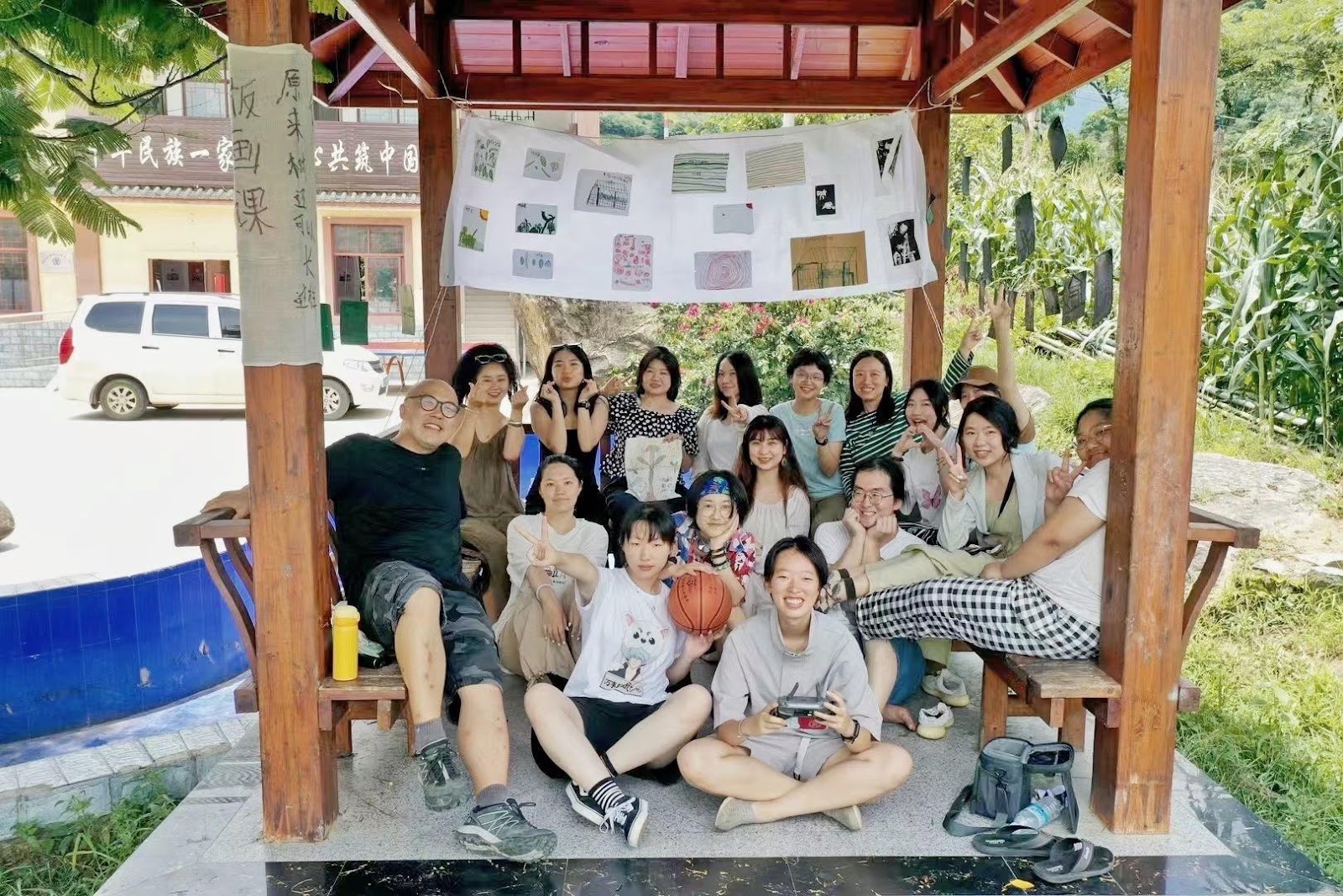
- Meeting with the rest of the volunteers and teachers in Conggang, Yunnan
- Discussion with ten art teachers from Rye Wave about the preparation for art classes and the results of local family and minor ethnical cultural research.
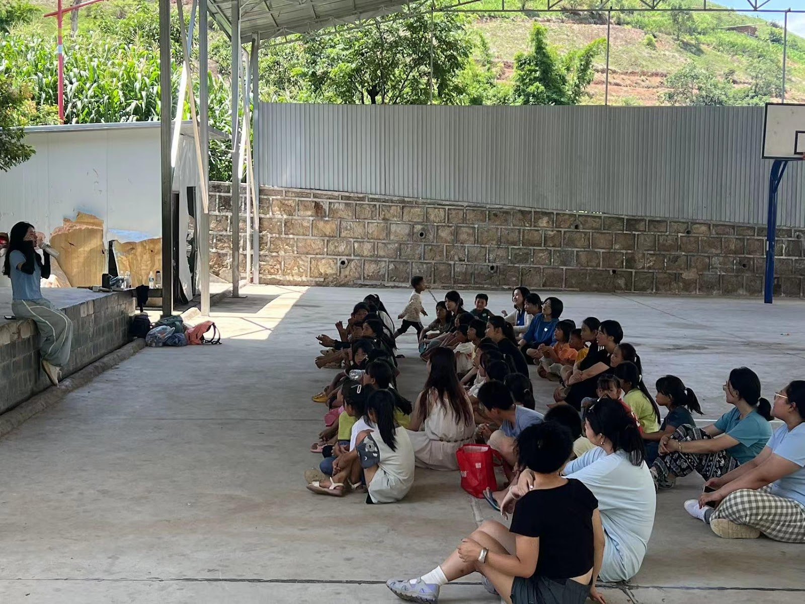
The first day of our art summer program began at the local residences’ basketball playground. Kids who registered for the program and we teachers were sitting together and listening to the speech given by Linyu Miao. Some of them even did not put any shoes on. First impression with Conggang County–Wild.
There was a little mix-up that our opening conflicted with the residents’ basketball practice. It was quite awkward and intense when they thought we occupied their playground without permission from the local administration. And they started to get mad and present some wild and violent tendencies. I have to admit it was chaos for a while. But we solved the little trouble after carefully and patiently explaining to them what happened and why we were teaching for free in this county.
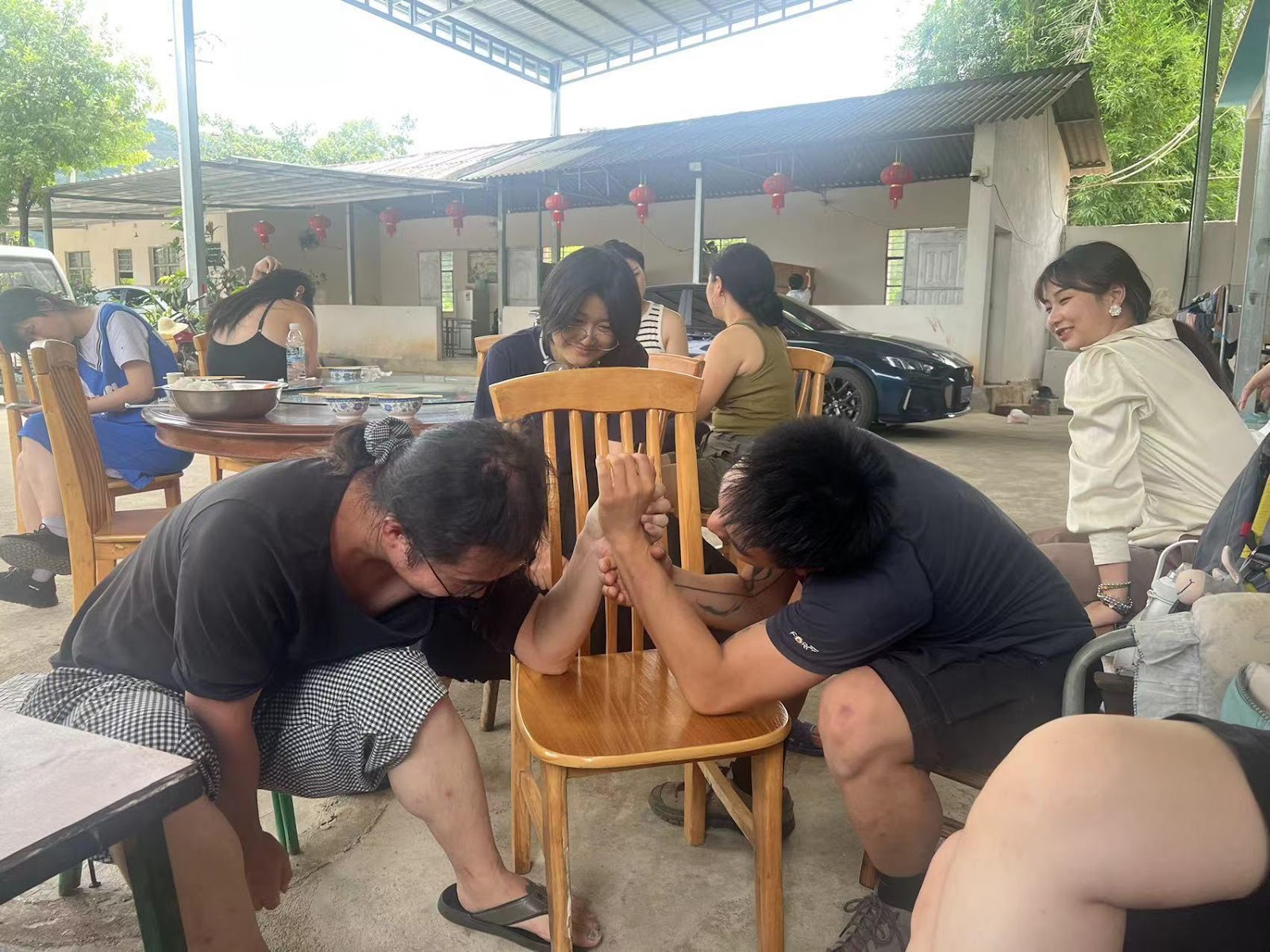
The big group of artists at Rye Wave and I was arm-wrestle with Xinpei
I did not create any art classes for the children in Conggang, Yuannan, but I still built up a close relationship between the artists from Rye Wave and the ritual kids. I guided a small group of children to use the camera and make some portraits for each of us. It was also engaging and enlightening for me to briefly participate in the art classes, activities, and experience in person with those children from the realistic Chinese countryside.
Photography team and me


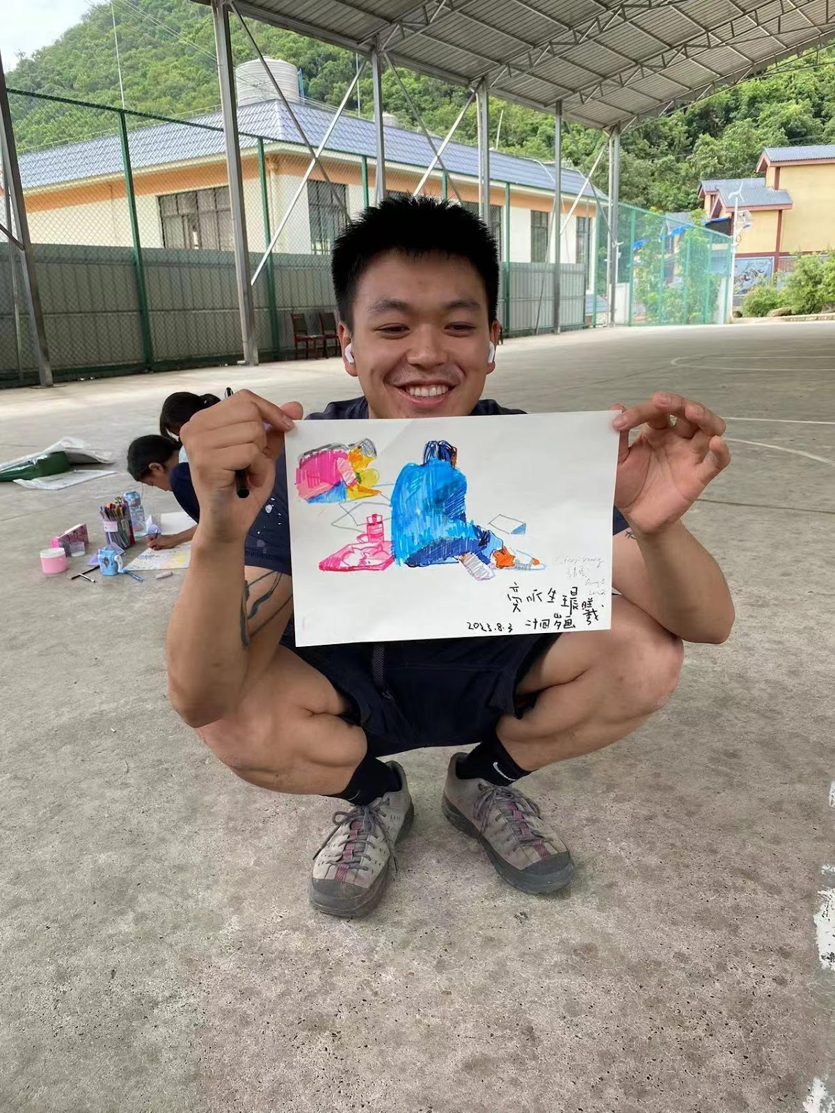
me and my drawing in an observative drawing class


The Recess —— Basketball Hour
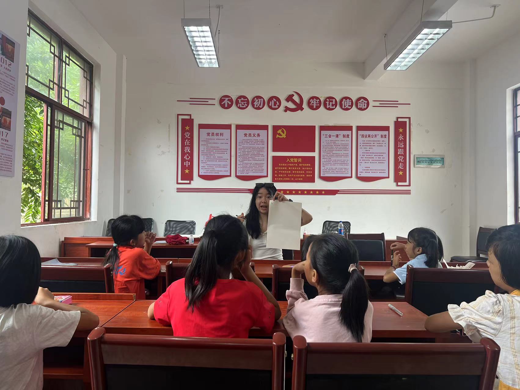
Class time
The 10-day audition with the first program of Rye Wave in Conggang is not easy. I started to grasp the cruel problem involving local administrators, political organizations, residents, children, and artists within a realistic society. The poverty of their family, an incompleted system of elementary education, limited geographical conditions, developing family educational awareness…… Like Miao said, we little art student NGOs can not entirely address the systemic inequities deeply ingrained in Chinese rural education, a challenge that the CCP has been working on at its national administrative level for years.
Nevertheless, the united teamwork, young energy of Rye Wave, passion from the artists, and the smiles of the children inspired and empowered me to reflect on my section of the program in Shenhou, Yuzhou, Henan. I got more confidence and responsibility about making efforts with my coming section.
The night of the Mountain Gaoli
The Crazy Ball Adventure! – Aanya Arora, BArch 24
The Crazy Ball Adventure!
Friday 1st September

Throughout this week, the toy project has truly blossomed. Each day, it transformed into something new as various groups of students put their unique spin on it, experimenting with diverse combinations of the mechanisms we’ve crafted. The children have been in a constant state of refinement, figuring out how to fashion additional mechanisms from the materials readily available and generating remarkably inventive concepts. One young boy ingeniously devised a curving trajectory for the ball employing only wooden dowels and rubber bands. He meticulously engineered a method to balance the dowels within the board’s holes, harnessing the rubber bands’ elasticity to create a stable path. Meanwhile, another child independently conceived a mechanism that employed water, plastic syringes, and discarded materials to generate motion, resembling the functionality of a crane. He introduced this innovation to the workshop and enlisted the assistance of fellow students in designing how it could be integrated into the initial stages of the ball’s journey. The field officers expressed their surprise at discovering this young innovator’s creative side, and they were delighted that these workshops provided a platform for his inventive and imaginative ideas to shine.

Through a fruitful collaboration with the same local steel product manufacturer responsible for crafting the stand, we managed to procure pegs of precisely the right size—3 inches, to be precise! These pegs proved versatile, capable of securely supporting a wide range of items, from PVC pipes to the Ferris wheel. As the children embarked on crafting a ball path using these newly acquired pegs, it was truly inspiring to witness how they challenged the conventional usage, deftly manipulating the angle and positioning of the pegs to accommodate various objects. Additionally, their newfound efficiency was remarkable; they constructed the path almost as swiftly as they conceived it in their imaginative minds.

Crazy Ball Adventure
During the construction of one of the iterations of our ball runs, the ball unexpectedly tumbled out of one of the pipes, embarking on a spontaneous adventure, rolling onto the neighborhood streets. Amidst the laughter that ensued, one of the children exclaimed, “Crazy Ball!” – a name that instantly resonated with everyone. Consequently, we decided to christen our creation ‘The Crazy Ball Adventure’ Toy. The field officers and the manager of the No Child In Trash Program were thoroughly thrilled with the evolution of this toy and recognized its potential for use across Chintan’s various centers in New Delhi. To facilitate its broader adoption, they’ve tasked me with designing a guide that can introduce new children to its usage and highlight its potential as a valuable learning tool. I’ve already initiated some sketches for this guide and am committed to completing it within the next few weeks.


In the past week, I conducted two plastic crocheting workshops, where I had the opportunity to teach waste-picker women the art of transforming plastic bags into useful products through crocheting. Each participant crafted a small sample, roughly the size of a fist, during which they learned the fundamentals of crocheting, including how to begin, execute chain stitches, build upon layers, and explore various crochet techniques. We ventured into experimenting with different plastic bag thicknesses and made an interesting discovery: thicker plastics allowed us to create surfaces more quickly and were easier to work with due to their visible holes and knots. Conversely, the thinner plastic bags, typically used for fruits and vegetables, presented a slipperier challenge, especially for beginners. However, experienced crocheters among the women managed to craft sizable pieces from these bags. Many of the participants had some prior experience with crocheting but hadn’t practiced it in a while, so they were delighted to rekindle their skills through these workshops and now have the tools to create something beautiful.
We also explored the potential of using various materials, such as old clothes, yarn, or even natural elements, in crocheting. One woman shared her grandmother’s tradition of crafting grass baskets through crocheting, highlighting the versatility of natural materials. These baskets, once dried, become tight and incredibly strong, serving multiple household purposes while remaining biodegradable—a wonderful example of harnessing and transforming natural resources into marketable, eco-friendly products.

In addition to the workshops, I successfully finalized the plastic crocheting manual. This comprehensive guide encompasses a wide array of potential products the women can create, detailing the necessary materials, step-by-step instructions on commencing crochet projects, proper crochet hook handling techniques, and an exploration of various crochet styles.
These past few weeks have been incredibly thrilling as I’ve had the opportunity to introduce the children to the world of design. Witnessing their creative thinking and their willingness to challenge their usual thought processes has been truly inspiring. Moreover, the collaborative efforts they put forth to develop innovative designs together have left a lasting impression. As my Maharam fellowship at Chintan comes to a close, it’s astonishing how time has flown by. I find it hard to believe that it’s time to bid farewell, and while I’ll miss this experience, I’m eagerly anticipating the future, where I hope to see the toy project continue to evolve and ignite inspiration in countless other children.

Connecting the Dots: Materials and Assembly – Aanya Arora, BArch 24
Sunday 20th August 2023
Connecting the Dots: Materials and Assembly

The exciting journey towards finalizing the toy design has officially begun! After studying the various components envisioned by children during our last workshop, I embarked on the task of acquiring materials that would facilitate diverse ball motions in our marble run. Among the materials I have procured are PVC pipes, a round pipe, large and small joints, wooden dowels, as well as assorted pieces of wood in varying sizes. These elements form the building blocks of our innovative ball run, and I am eager to see how the children will come together to create a captivating and interactive toy design.

6 Different Mechanisms
With a comprehensive understanding of the available materials and insights from the prototypes crafted by the children in the previous workshop, I conceptualized six distinct mechanisms for guiding the ball through our marble run: a car, a Ferris wheel, a hammer, a thread-based contraption, a lift, and a seesaw. The children were organized into six groups, each tasked with drawing out a design that incorporated one of these mechanisms, followed by group discussions to refine their concepts and select the most promising idea to pursue. And then, the magic began as they delved into the construction process, employing cardboard, dowels, wooden ice-lolly sticks, and various discarded materials to bring their visions to life. The level of creativity and innovation on display was truly remarkable, with some groups devising mechanisms to adjust the ball’s trajectory through string manipulation, while others crafted a dual Ferris wheel with two distinct entry points, showcasing the children’s extraordinary ability to think beyond what the task asked them.

Foundational Structure
During the workshop, a valuable insight emerged: the children required a foundational structure on which to construct their ball runs effectively. In response, I conceived a versatile, disassemblable stand featuring a grid of perforated holes. This design allowed for easy attachment and reconfiguration of various components within the ball run. Collaborating with a local steel product manufacturer, we brainstormed ways to optimize the design, reducing material usage and overall costs while ensuring its disassemblability. Our solution was a single-sheet central structure that could be utilized from both sides, enabling two separate groups of children to simultaneously build their ball runs, ultimately fostering friendly competition as they vied to create the longest and most imaginative designs.

Measure, Cut, and Sand
The next phase of our ball run adventure saw us diving headfirst into the creation of the permanent ball run! I introduced the children to the world of PVC pipes and posed the question of how to cut them to allow visibility of the ball while crafting those thrilling zig-zag paths, a recurring feature in their marble run prototypes. The room buzzed with anticipation as I guided them through the process: measure, cut, and sand! There was palpable excitement as I demonstrated the use of a cutting saw to trim the PVC pipes into smaller sections and then meticulously smooth the edges with sandpaper. To address the challenge of connecting two pipes at a corner while maintaining ball visibility, we collectively decided on a clever solution: slicing a pipe horizontally and leaving two inches of the full pipe on one side, ensuring it could be securely affixed into a connector piece.

Peg Design Testing
As we delved into the design of pegs for affixing various mechanisms to the perforated board, a collaborative brainstorming session ensued. Our initial approach involved crafting 3-inch-long wooden dowels, designed to fit snugly into the board by carefully chiseling them down to a size just slightly smaller than the hole width. We tested this configuration with four pieces to support a pipe, but it lacked the necessary lateral stability to keep the pipe securely in place. Subsequently, we explored the addition of smaller vertical pieces at the ends of the dowels to enhance support, yet this approach occasionally resulted in unwanted rotation. Another avenue we explored was metal pegs, commonly used in commercial stores for hanging products on shelves. However, the sizes we tested proved either too small or significantly larger than the pipe’s width. Currently, our quest is focused on sourcing pegs with dimensions that are just right for our unique needs.

Assemblage Iteration
I split the students into two groups, each focused on distinct aspects of our marble run project. While one group diligently constructed various components, the other group embarked on testing different assembly methods. For the time being, we opted for the simplicity of tape to connect the different mechanisms to the stand, facilitating swift experimentation. As I observed their progress, it became evident that employing standardized pieces streamlined the construction process, enabling them to build intricate runs with remarkable speed. This dynamic exploration also led to insights into how the ball’s velocity could vary at different stages of the run. Moreover, they quickly discovered ways to maximize their available resources by introducing breaks in the path, relying on the ball’s own momentum to bridge these gaps. The children’s enthusiasm soared as they contemplated the prospect of two distinct entry points for the ball, igniting a spirited race to determine which route would allow the ball to reach the end first.


Upcycling Workshop
In a recent meeting with the Voice of Waste team, I introduced the concept of a plastic crocheting workshop, and I was delighted to find that they were receptive to the idea. They appreciated how this skill could empower participants to craft a diverse range of products while demanding minimal equipment. As a result, they have tasked me with creating a comprehensive workshop manual that provides a step-by-step guide to the crocheting process. In designing this manual, I’ve been exploring ways to convey the intricacies of crocheting through visual graphics, aiming to minimize reliance on textual instructions since several of the women involved may not be proficient in either Hindi or English.
From Concept to Creation: Diving into the World of Toy Design – Aanya Arora, BArch 24
Sunday 13th August 2023
From Concept to Creation: Diving into the World of Toy Design
Recently, we embarked on an exciting journey of designing our own marble runs, delving into the realms of energy, matter, and creativity. The process began with a thoughtful discussion on energy and matter. Students explored the various forms of energy, from potential and kinetic to the fascinating world of chain reactions. This laid the foundation for their marble run designs, as they contemplated ways to harness and manipulate these energies to create a captivating marble run.

Guiding the students through the creative process, I showcased the versatility of cardboard as a construction material. Techniques such as scoring to create cones, developing slot systems, utilizing the flange technique, and even binding two pieces with string or rubber bands were demonstrated on a board. This hands-on demonstration sparked the students’ imagination, inspiring them to combine these techniques in innovative ways.


As the students set out to design their marble runs, the classroom was abuzz with creative energy. One student, overwhelmed by the challenge, said to me “Mein nahi banapaogha” which means ‘I won’t be able to make this’. I encouraged to focus on the base structure first and he slowly began to change his outlook. Recognizing the need for vertical space, he taped his cardboard piece into position on the shelf and began building. What followed was a cascade of creativity – a testament to the power of persistence and innovative thinking. Drawing inspiration from the recent car design workshop, he even envisioned an extension of the marble run into a miniature car that could transport the marble to new destinations. This interplay of concepts showcased the interconnectedness of various disciplines and the multifaceted thinking nurtured through such projects.
As the marble runs took shape, it was time to put them to the test. We timed each groups creations, with the students eager to see how long their marble could journey through the intricacies of their design. Times varied from a swift 00.58 seconds to a more leisurely 2.20 seconds, considering the constraints of limited space and cardboard resources.Students talked about their creations, explaining their design choices and recounting the lessons learned during testing. We even did a critique (similar to the ones but not as cut-throat!), encouraging students to appreciate each other’s work and identify areas for improvement. The recurring feedback included widening spaces for the marble, reducing the use of tape, incorporating protective barriers to prevent marble escapes, and introducing more zig-zag segments to prolong the marble’s journey. Students were enthusiastic about redoing their designs with the feedback to see if they can make the marble run for a longer period of time.


Upcycling Workshop: Transforming Waste into Artistry
In order to get a better understanding of the materials available and the lifestyle of the wastepicker women which I will be conducting the workshop for I visited the Vivekanand camp. At this camp, Chintan has a 3-year program in motion orchestrating positive changes within this community while addressing waste management challenges. Nestled in the heart of Chanakyapuri, amidst the presence of embassies and schools known as ‘bulk generators’ of waste, the camp houses approximately 85 families. The husbands navigate the neighborhood on their rickshaws, diligently collecting discarded materials. Upon their return to the camp, a designated space – either within the camp or right outside their homes – becomes a hub of activity. At the camp the remarkable wastepicker women commence their meticulous sorting process. Each piece is carefully evaluated and categorized based on its quality, a pivotal step in preparing the items for sale to the kabadiwala (a local term for waste buyers).


There are 4 main categories of waste – paper, plastic, glass and metal. I watched as they categorized paper into three distinct groups: pristine white paper, worn/dirty out paper, and full newspaper. The white paper garnered the highest profit among the three categories. Metal pieces, too, underwent a fascinating transformation. Through a series of skillful hammer blows, these pieces were reshaped into forms more suitable for recycling. This hands-on process culminated in the sorting of metal into two essential categories: aluminum and general metal. I also saw how plastics were organized into different categories depending on their form. For example, they had an entire trash bag filled with Bisleri Mineral Water (local water brand) plastic wrapping, which is used to wrap several water bottles together. I collected samples of different materials such as plastic wrapping, thick plastic packets which are used to transport milk and large plastic bottles. I have been experimenting and prototyping ways that these discarded objects can be transformed into surface materials which can be used to construct different objects.
This visit unveiled how within these discarded materials lies the potential for transformation. The wastepicker women of Vivekanand camp are not just sorting waste – they’re driving change, embracing upcycling practices, and demonstrating the power of collective efforts in shaping a greener world. I am looking forward to putting together this upcycling workshop for them to assist them in harnessing their artistry skills to transform the waste into sellable objects to improve their livelihood.
Small Hands, Big Ideas! – Aanya Arora, BArch 24
Monday 7th August 2023
Small Hands, Big Ideas!
I have been witnessing the unbridled creativity and boundless imagination of children. Over the past weeks, I’ve had the incredible opportunity to observe them as they approach various design challenges, their ideas soaring far beyond conventional expectations. These young minds possess an innate ability to envision possibilities that often astound us, proving that innovation knows no age limits.
Empowering Students Through Innovative Design Workshops
The enthusiasm and energy radiating from these students during the design workshops have been nothing short of inspiring. It’s clear that they possess a treasure trove of remarkable ideas, waiting to be harnessed. As I guided them through activities such as designing a protective holder for a water balloon, constructing a boat capable of carrying numerous Jenga blocks, and crafting a lightweight car, I witnessed their natural inclination to push the boundaries of their imagination.


Students set out to create a boat capable of holding as many Jenga blocks as possible. Through iterative design, they grappled with concepts of stability, shape, and material properties. This hands-on experience reinforced the invaluable lesson of continuous improvement and they quickly realized that innovation is a process, involving testing, redesigning, and fine-tuning to achieve the desired outcome. I created a supplies market which featured an assortment of materials including wooden lollipop sticks, balloons, straws, cups, string, and rubber bands. The catch? Each student could only choose four items. This approach not only taught resourcefulness but also established creative boundaries, prompting the young designers to think innovatively within limitations. I observed that with access to diverse materials, their creative thinking expanded exponentially.

Interestingly, one student stood out for his unique approach. Overcoming a visual impairment, he delved beyond conventional notions of buoyancy. He crafted a steering mechanism using only balloons, wooden sticks, and rubber bands. This ingenious contraption allowed the boat to maneuver in various directions based on the tilt of the stick. His innovation showcased how diverse perspectives can lead to breakthrough solutions.

I discovered that the car workshop appeared overly straightforward for the students, given that the car’s structure is already pre-established. As a result, their vehicles exhibited striking resemblances, reflecting a reduced emphasis on creative ideation regarding the forms. Other workshops like the water balloon holder and the boat allowed them to think more creatively as there isn’t a predetermined expected form.
Upcycling Workshop: Transforming Waste into Artistry
Shifting gears from young minds to the waste-picker women community, I embarked on an upcycling workshop. Armed with a vision of transforming everyday waste into useful and aesthetically pleasing objects, I explored innovative ways to repurpose materials. One such endeavor involved weaving plastic milk bags to create functional items. Additionally, I experimented with turning plastic wrappers and bags into crochet-ready materials.Central to this workshop was the idea of empowering these women to turn waste into usable surfaces. The goal was to enable them to craft items such as tote bags, wallets, boxes, and even textiles for furniture. By providing them the tools to create sellable products aligned with their interests, the workshop aimed to offer them a new sense of agency and income potential.A pivotal meeting with the Voice to Waste team solidified the workshop’s potential impact. The idea of teaching these women how to transform waste into unique surfaces resonated strongly, as it aligned with their mission of sustainability and empowerment.

Nurturing Innovation, One Idea at a Time
The children’s boundless ideas are testaments to the power of creativity when guided with care and intention. By providing the space, tools, and encouragement needed to innovate, we were able unlock solutions that transcend expectations and make lasting positive impacts on individuals and communities alike. After all, it’s in the smallest of hands that the biggest ideas often flourish.
You must be logged in to post a comment.